Transport Functions
Port
Rail
Road
Hub Profile
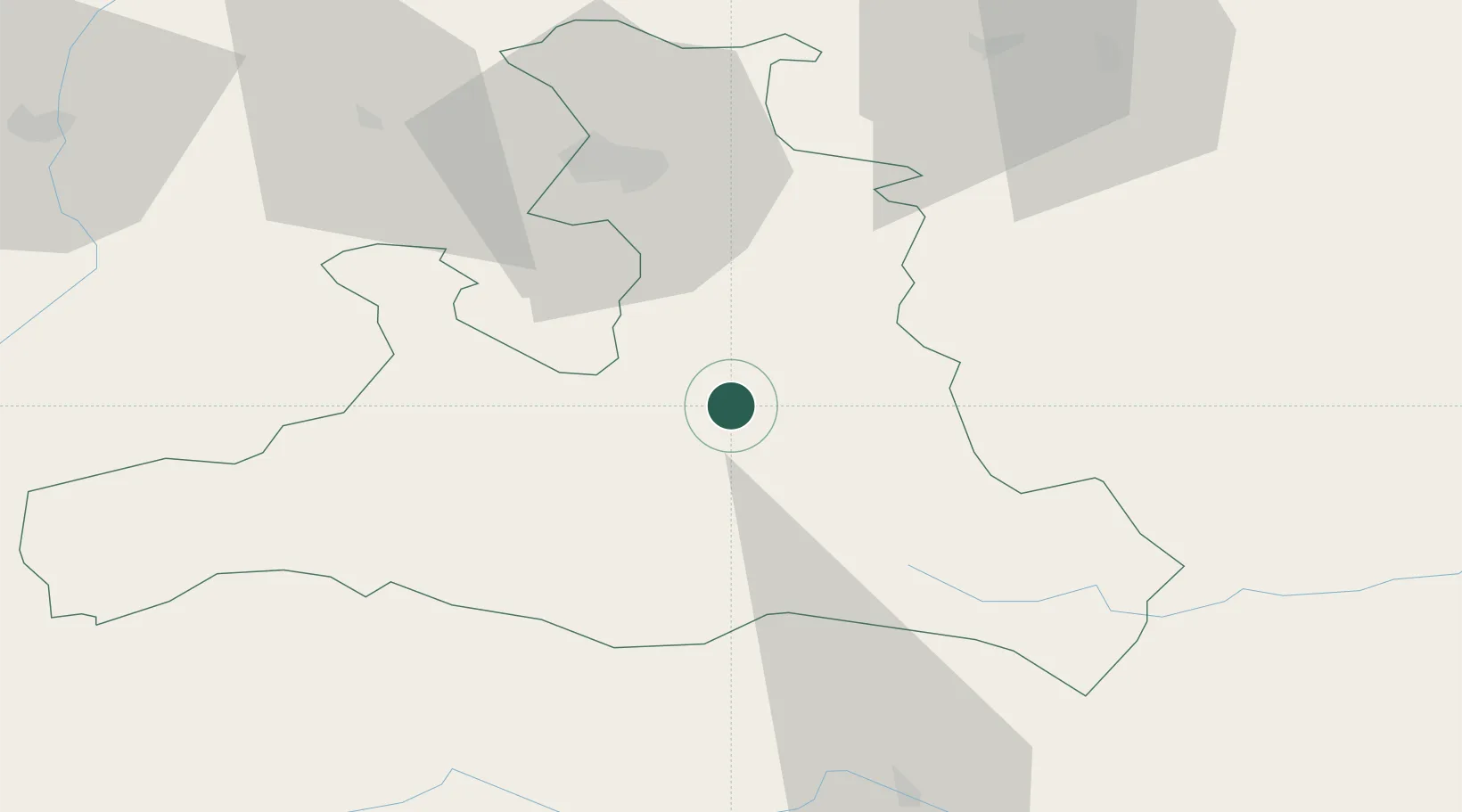
Place type
District seat
Region
Salzburg
Population
7,457
Time zone
Europe/Vienna
Elevation
558 m
Location
Nearby Logistics Neighbours
Cities
- 1Schwarzach im Pongau12 km
- 2Elsbethen Glasenbach13 km
- 3Radstadt18 km
- 4Forstau25 km
- 5Mandling26 km
Ports
- 1Monfalcone183 km
- 2Nogaro184 km
- 3Grado191 km
- 4Trieste201 km
- 5Muggia206 km
Airports
- 1Salzburg Airport45 km
- 2Linz-Hörsching Airport116 km
- 3Hinterstoisser Air Base118 km
- 4Klagenfurt Airport121 km
- 5Innsbruck Airport142 km
Trade Zones
- 1Freeport of Deggendorf161 km
- 2Free Port of Trieste201 km
- 3Free Port of Venice231 km
- 4Consorzio Zona Industriale e Porto Fluviale di Padova246 km
- 5Krapina-Zagorje Free Zone247 km
DatabookThe Record of Consolidated Knowledge
Austria beyond logistics?