UN/LOCODE hub · Austria
ATSIP
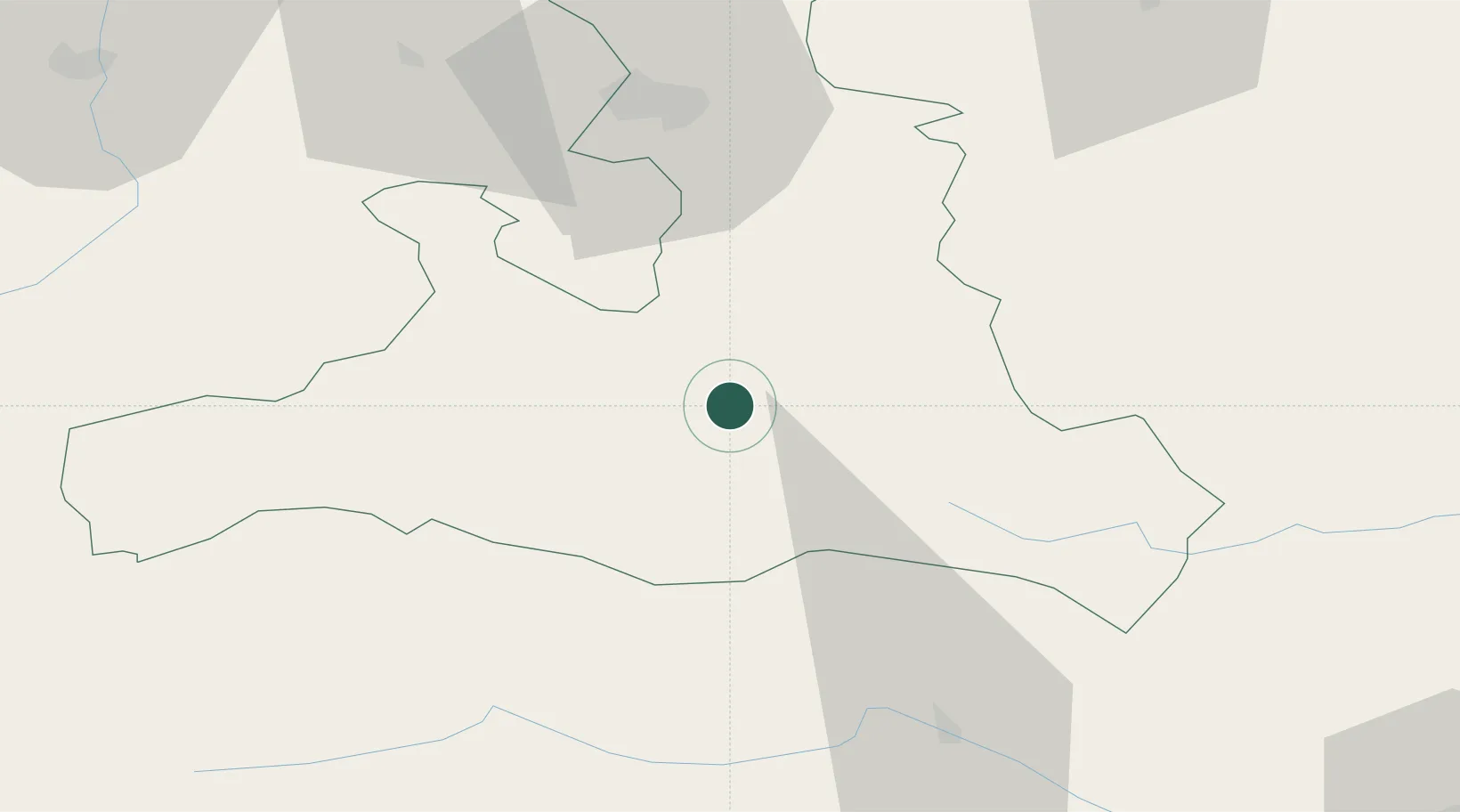
Schwarzach im Pongau
47.3167°, 13.1500°
3,515
Population
1
Transport functions
Transport Functions
Multimodal
Hub Profile
Place type
District seat
Region
Salzburg
Population
3,515
Time zone
Europe/Vienna
Elevation
594 m
Location
Nearby Logistics Neighbours
Cities
- 1Bischofshofen12 km
- 2Elsbethen Glasenbach14 km
- 3Badgastein22 km
- 4Radstadt24 km
- 5Saalfelden am Steinernen Meer26 km
Ports
- 1Nogaro173 km
- 2Monfalcone173 km
- 3Grado181 km
- 4Trieste191 km
- 5Muggia197 km
Airports
- 1Salzburg Airport54 km
- 2Klagenfurt Airport117 km
- 3Hinterstoisser Air Base121 km
- 4Linz-Hörsching Airport128 km
- 5Innsbruck Airport136 km
Trade Zones
- 1Freeport of Deggendorf171 km
- 2Free Port of Trieste191 km
- 3Free Port of Venice219 km
- 4Consorzio Zona Industriale e Porto Fluviale di Padova234 km
- 5Free Zone Kukuljanovo244 km
DatabookThe Record of Consolidated Knowledge
Austria beyond logistics?