Transport Functions
Rail
Road
Hub Profile
Region
6
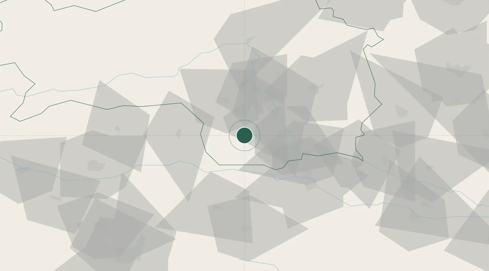
Location
Nearby Logistics Neighbours
Cities
- 1Gross Sankt Florian4 km
- 2Sankt Stefan ob Stainz9 km
- 3Schwanberg11 km
- 4Pistorf11 km
- 5Gleinstätten12 km
Ports
- 1Trieste176 km
- 2Monfalcone176 km
- 3Rijeka Luka179 km
- 4Muggia179 km
- 5Bakar180 km
Airports
- 1Graz Airport22 km
- 2Maribor Edvard Rusjan Airport51 km
- 3Hinterstoisser Air Base57 km
- 4Klagenfurt Airport74 km
- 5Ljubljana Jože Pučnik Airport92 km
Trade Zones
- 1Krapina-Zagorje Free Zone89 km
- 2Sjever Free Zone102 km
- 3PJ Free Zone Zagreb124 km
- 4Free Port of Trieste176 km
- 5Free Zone Kukuljanovo176 km
DatabookThe Record of Consolidated Knowledge
Austria beyond logistics?