Transport Functions
Rail
Road
Airport
Postal
Hub Profile
Region
2
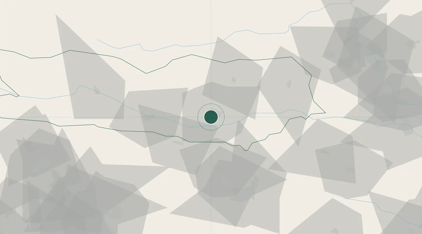
Location
Nearby Logistics Neighbours
Cities
- 1Sankt Margrethen7 km
- 2Pischeldorf14 km
- 3Velden19 km
- 4Feldkirchen im Kärnten20 km
- 5Sankt Kanzian am Klopeiner See22 km
Ports
- 1Monfalcone109 km
- 2Trieste116 km
- 3Muggia120 km
- 4Koper126 km
- 5Grado128 km
Airports
- 1Klagenfurt Airport4 km
- 2Ljubljana Jože Pučnik Airport45 km
- 3Hinterstoisser Air Base73 km
- 4Graz Airport96 km
- 5Maribor Edvard Rusjan Airport107 km
Trade Zones
- 1Free Port of Trieste116 km
- 2Krapina-Zagorje Free Zone132 km
- 3Free Zone Kukuljanovo143 km
- 4PJ Free Zone Zagreb152 km
- 5Port of Rijeka Free Zone158 km
DatabookThe Record of Consolidated Knowledge
Austria beyond logistics?