Transport Functions
Rail
Road
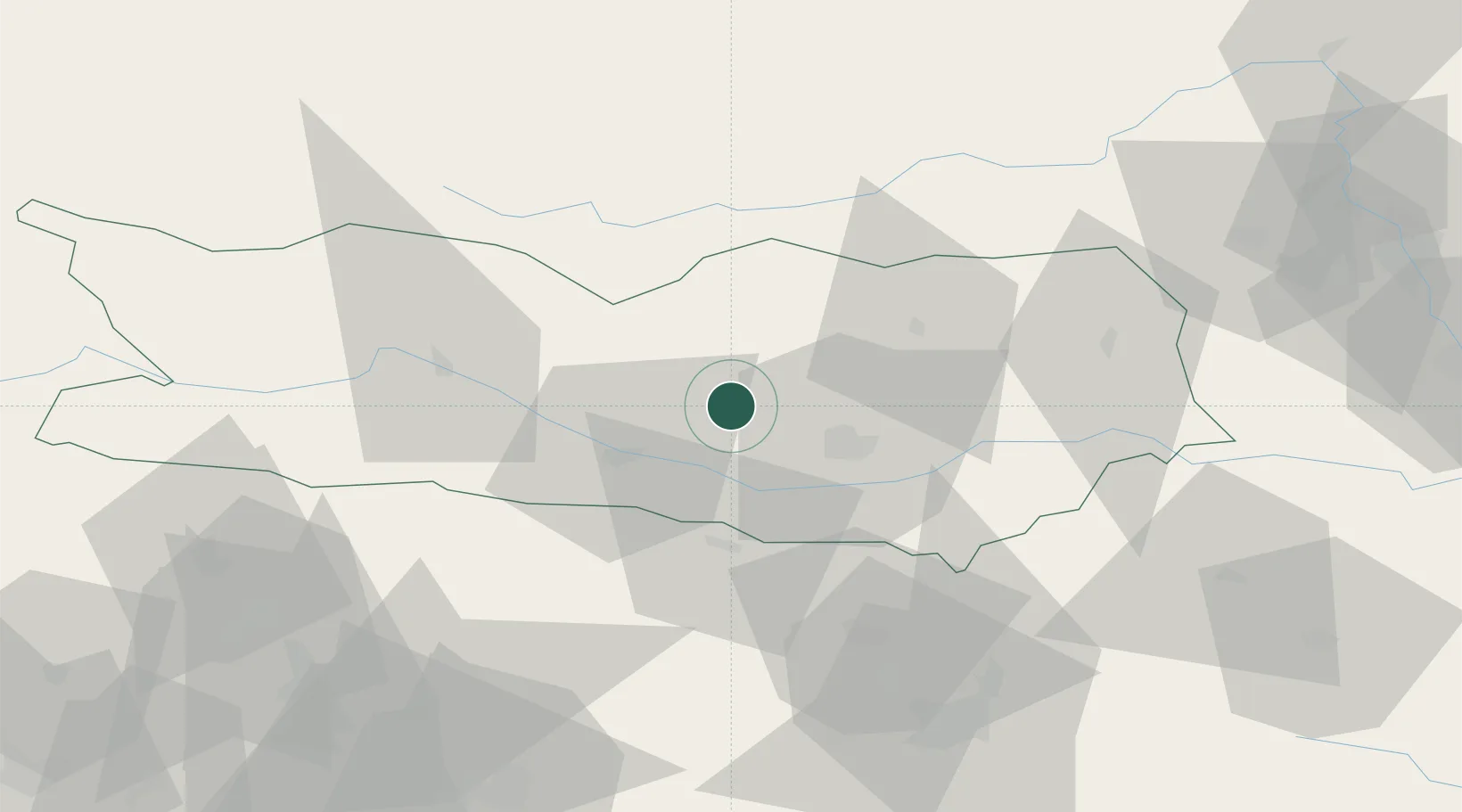
Location
Nearby Logistics Neighbours
Cities
- 1Velden11 km
- 2Klagenfurt20 km
- 3Rosenbach21 km
- 4Obere Fellach22 km
- 5Gummern24 km
Ports
- 1Monfalcone112 km
- 2Trieste121 km
- 3Muggia127 km
- 4Nogaro128 km
- 5Grado129 km
Airports
- 1Klagenfurt Airport21 km
- 2Ljubljana Jože Pučnik Airport62 km
- 3Hinterstoisser Air Base74 km
- 4Graz Airport108 km
- 5Trieste Airport110 km
Trade Zones
- 1Free Port of Trieste122 km
- 2Krapina-Zagorje Free Zone151 km
- 3Free Zone Kukuljanovo157 km
- 4Port of Rijeka Free Zone170 km
- 5PJ Free Zone Zagreb172 km
DatabookThe Record of Consolidated Knowledge
Austria beyond logistics?