Transport Functions
Port
Rail
Road
Hub Profile
Place type
Populated place
Region
Carinthia
Time zone
Europe/Vienna
Elevation
886 m
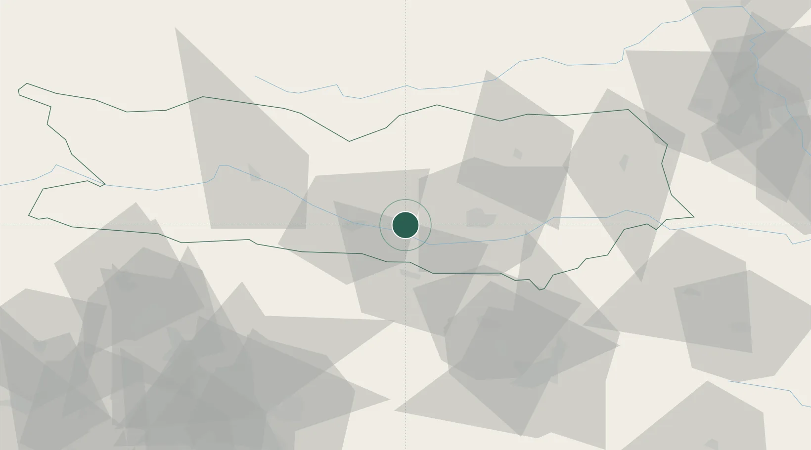
Location
Nearby Logistics Neighbours
Cities
- 1Rosenbach9 km
- 2Feldkirchen im Kärnten11 km
- 3Gödersdorf16 km
- 4Obere Fellach18 km
- 5Klagenfurt19 km
Ports
- 1Monfalcone100 km
- 2Trieste110 km
- 3Muggia115 km
- 4Nogaro117 km
- 5Grado118 km
Airports
- 1Klagenfurt Airport22 km
- 2Ljubljana Jože Pučnik Airport54 km
- 3Hinterstoisser Air Base84 km
- 4Trieste Airport98 km
- 5Udine-Rivolto Air Base105 km
Trade Zones
- 1Free Port of Trieste110 km
- 2Free Zone Kukuljanovo147 km
- 3Krapina-Zagorje Free Zone149 km
- 4Port of Rijeka Free Zone159 km
- 5PJ Free Zone Zagreb167 km
DatabookThe Record of Consolidated Knowledge
Austria beyond logistics?