Transport Functions
Multimodal
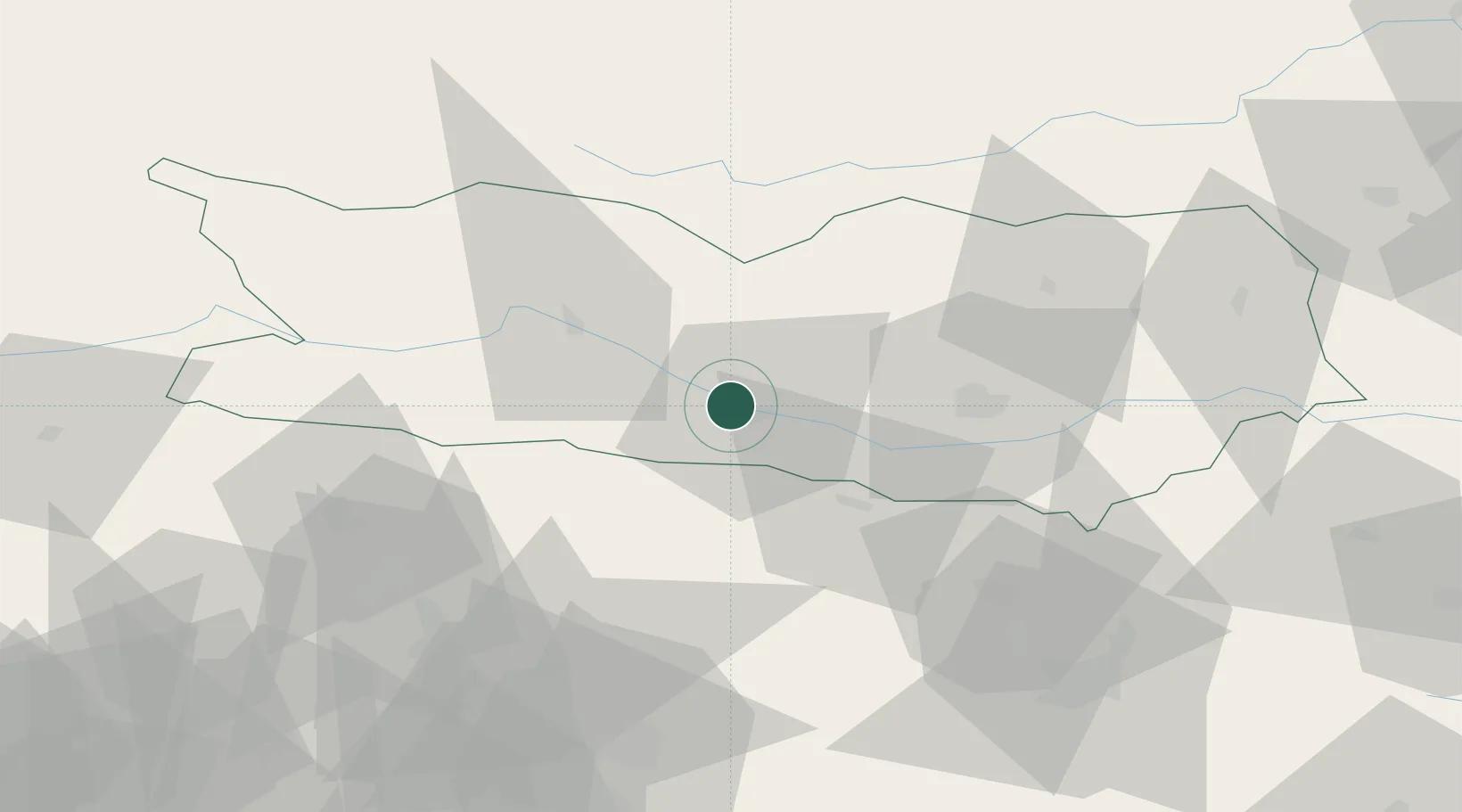
Hub Profile
Place type
Urban district
Region
Carinthia
Population
873
Time zone
Europe/Vienna
Elevation
558 m
Location
Nearby Logistics Neighbours
Cities
- 1Gummern3 km
- 2Gödersdorf8 km
- 3Paternion16 km
- 4Kranjska Gora17 km
- 5Kiskunmajsa18 km
Ports
- 1Monfalcone97 km
- 2Nogaro109 km
- 3Trieste109 km
- 4Grado112 km
- 5Muggia115 km
Airports
- 1Klagenfurt Airport40 km
- 2Ljubljana Jože Pučnik Airport67 km
- 3Trieste Airport93 km
- 4Udine-Rivolto Air Base94 km
- 5Hinterstoisser Air Base95 km
Trade Zones
- 1Free Port of Trieste110 km
- 2Free Zone Kukuljanovo154 km
- 3Port of Rijeka Free Zone164 km
- 4Krapina-Zagorje Free Zone167 km
- 5Free Port of Venice177 km
DatabookThe Record of Consolidated Knowledge
Austria beyond logistics?