Transport Functions
Rail
Road
Multimodal
Hub Profile
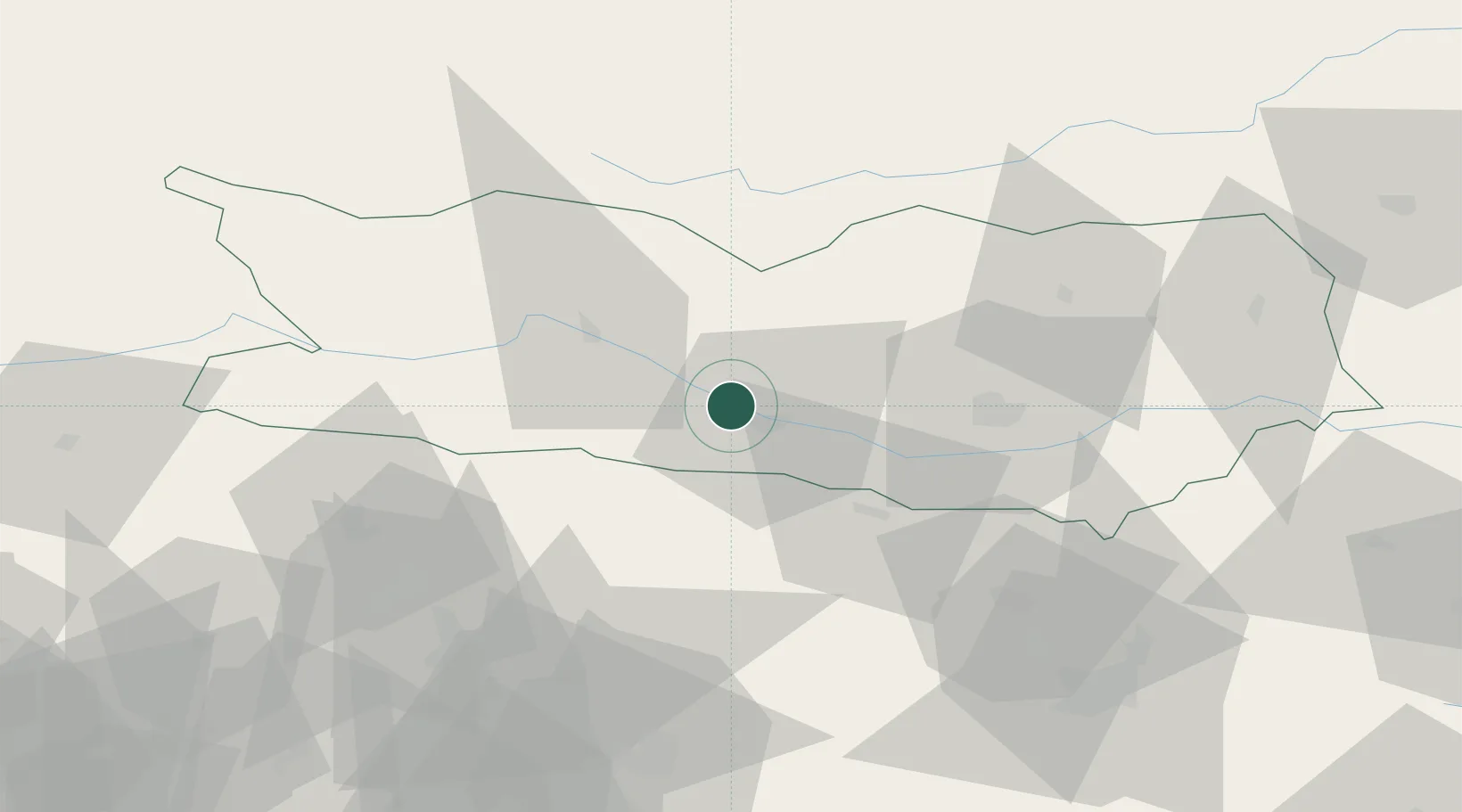
Place type
Populated place
Region
Carinthia
Population
79
Time zone
Europe/Vienna
Elevation
643 m
Location
Nearby Logistics Neighbours
Cities
- 1Obere Fellach3 km
- 2Gödersdorf11 km
- 3Paternion13 km
- 4Kranjska Gora19 km
- 5Kiskunmajsa19 km
Ports
- 1Monfalcone98 km
- 2Nogaro110 km
- 3Trieste111 km
- 4Grado112 km
- 5Muggia117 km
Airports
- 1Klagenfurt Airport42 km
- 2Ljubljana Jože Pučnik Airport70 km
- 3Udine-Rivolto Air Base94 km
- 4Trieste Airport95 km
- 5Hinterstoisser Air Base95 km
Trade Zones
- 1Free Port of Trieste112 km
- 2Free Zone Kukuljanovo157 km
- 3Port of Rijeka Free Zone166 km
- 4Krapina-Zagorje Free Zone170 km
- 5Free Port of Venice177 km
DatabookThe Record of Consolidated Knowledge
Austria beyond logistics?