Transport Functions
Rail
Road
Hub Profile
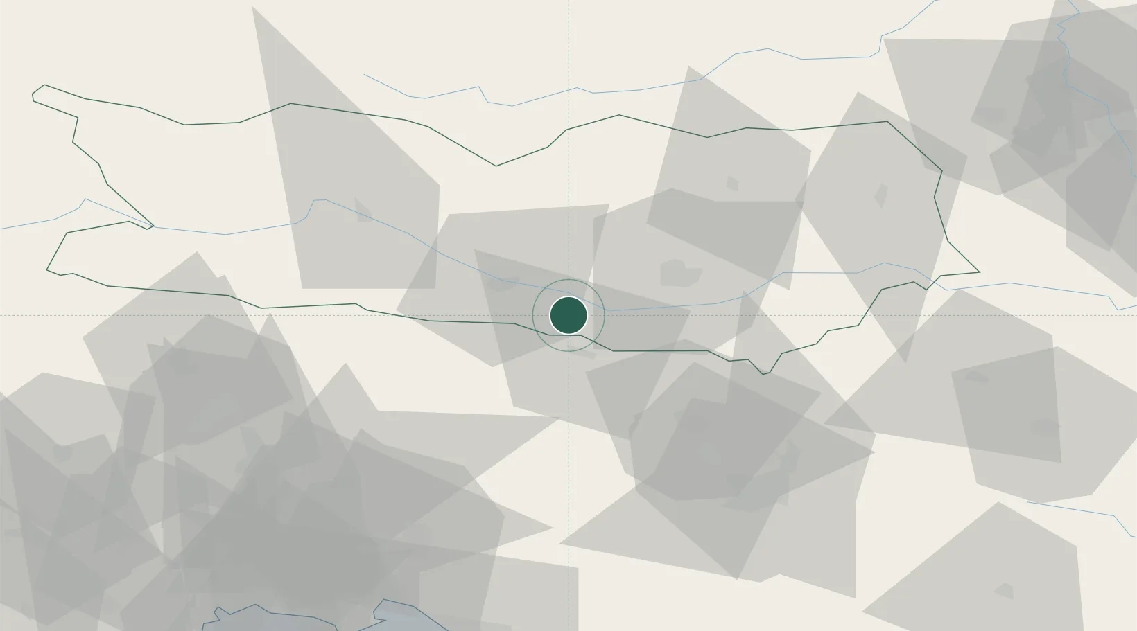
Place type
Populated place
Region
Carinthia
Population
331
Time zone
Europe/Vienna
Elevation
671 m
Location
Nearby Logistics Neighbours
Cities
- 1Velden9 km
- 2Jesenice13 km
- 3Gödersdorf15 km
- 4Zirovnica17 km
- 5Kranjska Gora20 km
Ports
- 1Monfalcone91 km
- 2Trieste101 km
- 3Muggia106 km
- 4Grado109 km
- 5Nogaro109 km
Airports
- 1Klagenfurt Airport26 km
- 2Ljubljana Jože Pučnik Airport47 km
- 3Trieste Airport90 km
- 4Hinterstoisser Air Base92 km
- 5Udine-Rivolto Air Base98 km
Trade Zones
- 1Free Port of Trieste101 km
- 2Free Zone Kukuljanovo138 km
- 3Krapina-Zagorje Free Zone148 km
- 4Port of Rijeka Free Zone150 km
- 5PJ Free Zone Zagreb164 km
DatabookThe Record of Consolidated Knowledge
Austria beyond logistics?