Transport Functions
Rail
Road
Hub Profile
Region
6
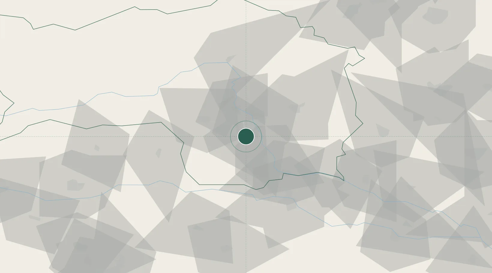
Location
Nearby Logistics Neighbours
Cities
- 1Graz5 km
- 2Lieboch5 km
- 3Seiersberg6 km
- 4Neupirka6 km
- 5Gössendorf7 km
Ports
- 1Monfalcone192 km
- 2Trieste192 km
- 3Rijeka Luka195 km
- 4Bakar195 km
- 5Muggia196 km
Airports
- 1Graz Airport6 km
- 2Maribor Edvard Rusjan Airport57 km
- 3Hinterstoisser Air Base57 km
- 4Klagenfurt Airport88 km
- 5Ljubljana Jože Pučnik Airport108 km
Trade Zones
- 1Krapina-Zagorje Free Zone96 km
- 2Sjever Free Zone103 km
- 3PJ Free Zone Zagreb133 km
- 4Free Zone Kukuljanovo192 km
- 5Free Port of Trieste192 km
DatabookThe Record of Consolidated Knowledge
Austria beyond logistics?