UN/LOCODE hub · Austria
ATSNG

Söding

46.9833°, 15.2833°
3
Transport functions

Transport Functions

Rail
Road
Multimodal
UN/LOCODE

Location

Location of ATSNG
Natural Earth 10m (public domain) · Steiermark · ATSNG · 46.98, 15.28GoogleOSMYandex

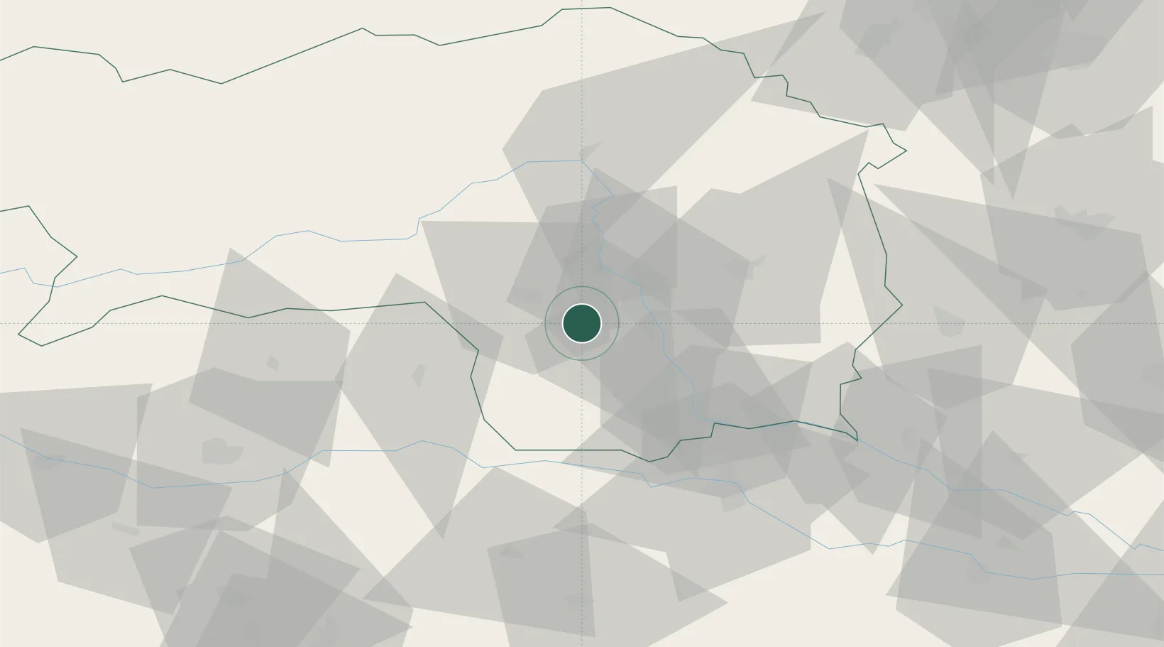
Nearby Logistics Neighbours

Cities
  1. 1Lieboch4 km
  2. 2Sankt Stefan ob Stainz8 km
  3. 3Seiersberg9 km
  4. 4Unterpremstätten10 km
  5. 5Neupirka10 km
Nearest neighbours — logibook spatial index (haversine) over the source coordinates
Ports
  1. 1Monfalcone188 km
  2. 2Trieste189 km
  3. 3Muggia193 km
  4. 4Rijeka Luka195 km
  5. 5Bakar196 km
Nearest neighbours — logibook spatial index (haversine) over the source coordinates
Airports
  1. 1Graz Airport12 km
  2. 2Hinterstoisser Air Base48 km
  3. 3Maribor Edvard Rusjan Airport64 km
  4. 4Klagenfurt Airport81 km
  5. 5Ljubljana Jože Pučnik Airport105 km
Nearest neighbours — logibook spatial index (haversine) over the source coordinates
Trade Zones
  1. 1Krapina-Zagorje Free Zone103 km
  2. 2Sjever Free Zone112 km
  3. 3PJ Free Zone Zagreb139 km
  4. 4Free Port of Trieste190 km
  5. 5Free Zone Kukuljanovo193 km
Nearest neighbours — logibook spatial index (haversine) over the source coordinates
DatabookThe Record of Consolidated Knowledge
Austria beyond logistics?
Browse databook

All Sources

LocationsUN/LOCODE
UN/LOCODE — free
Portsthe NGA World Port Index
Public domain (US gov)
AirportsOurAirports
Public domain
Trade Zonesthe World Bank SEZ database
CC BY 4.0
Trade ZonesOpen Zone Map
CC BY
← Austria locations