Transport Functions
Rail
Road
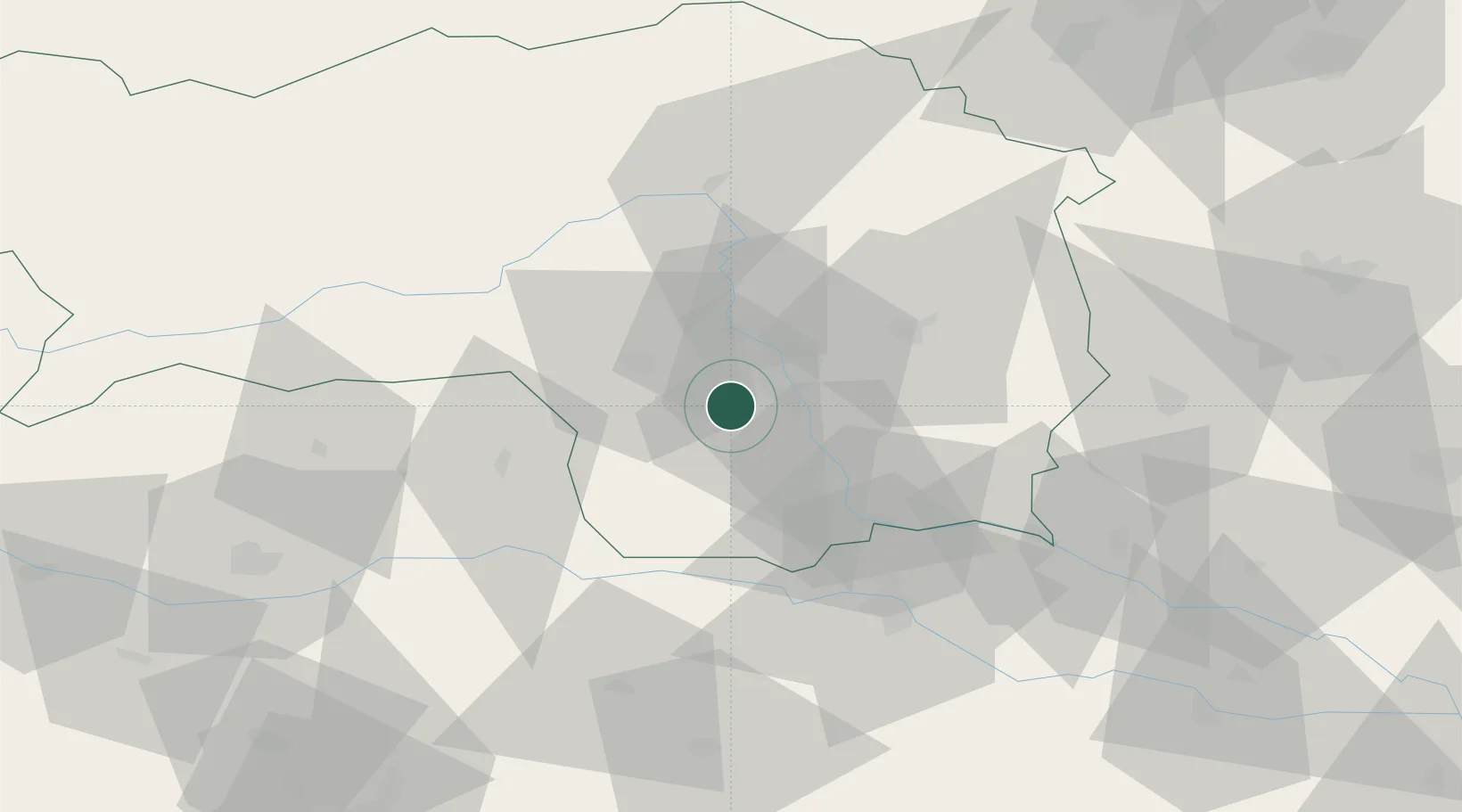
Hub Profile
Place type
District seat
Region
Styria
Population
3,175
Time zone
Europe/Vienna
Elevation
334 m
Location
Nearby Logistics Neighbours
Cities
- 1Söding4 km
- 2Unterpremstätten5 km
- 3Seiersberg6 km
- 4Neupirka7 km
- 5Sankt Stefan ob Stainz8 km
Ports
- 1Monfalcone190 km
- 2Trieste190 km
- 3Muggia194 km
- 4Rijeka Luka194 km
- 5Bakar195 km
Airports
- 1Graz Airport9 km
- 2Hinterstoisser Air Base52 km
- 3Maribor Edvard Rusjan Airport60 km
- 4Klagenfurt Airport84 km
- 5Ljubljana Jože Pučnik Airport106 km
Trade Zones
- 1Krapina-Zagorje Free Zone100 km
- 2Sjever Free Zone108 km
- 3PJ Free Zone Zagreb136 km
- 4Free Port of Trieste191 km
- 5Free Zone Kukuljanovo192 km
DatabookThe Record of Consolidated Knowledge
Austria beyond logistics?