Transport Functions
Rail
Road
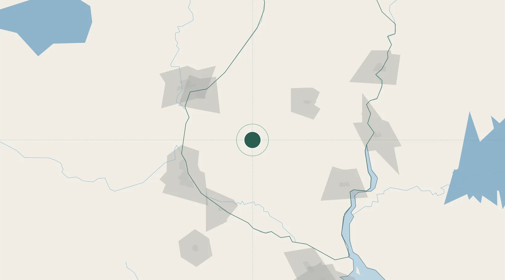
Hub Profile
Place type
Provincial seat
Region
Entre Rios
Population
43,195
Time zone
America/Argentina/Cordoba
Elevation
50 m
Location
Nearby Logistics Neighbours
Cities
- 1General Ramírez45 km
- 2Diamante89 km
- 3Urdurrain91 km
- 4Quebracho/San Lorenzo92 km
- 5Resinfor94 km
Ports
- 1Diamante89 km
- 2Puerto San Martin96 km
- 3San Lorenzo98 km
- 4Rosario102 km
- 5Parana102 km
Airports
- 1General Urquiza Airport93 km
- 2Rosario Islas Malvinas International Airport110 km
- 3Sauce Viejo Airport122 km
- 4Gualeguaychu Airport130 km
- 5Tydeo Larre Borges Airport162 km
Trade Zones
- 1Zona Franca UPM165 km
- 2UPM Fray Bentos Free Zone165 km
- 3Nueva Palmira Free Zone210 km
- 4Montes de Plata Free Zone260 km
- 5Zona Sur Buenos Aires278 km
DatabookThe Record of Consolidated Knowledge
Argentina beyond logistics?