UN/LOCODE hub · Argentina
ARSSA
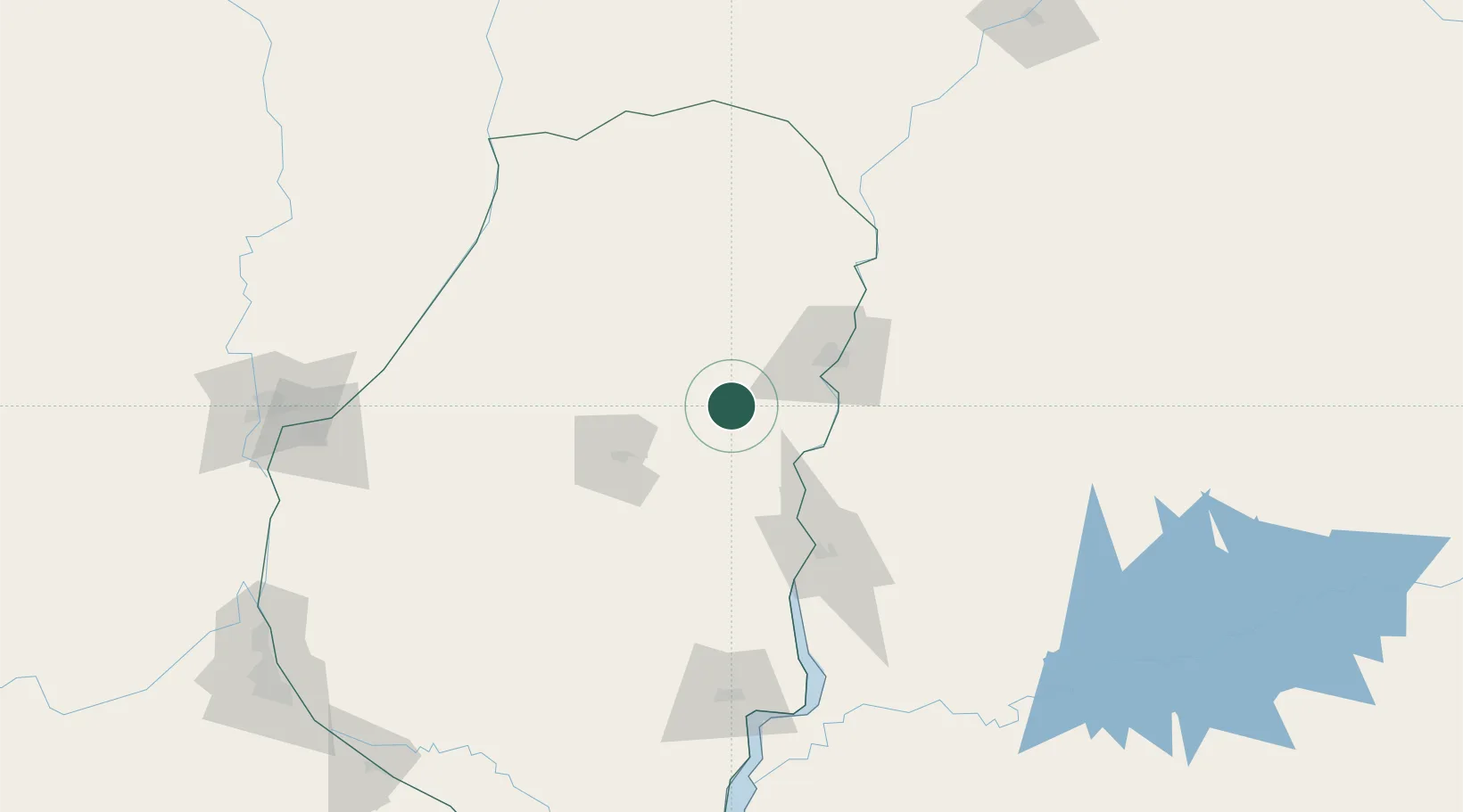
San Salvador
-31.6167°, -58.5000°
11,626
Population
2
Transport functions
Transport Functions
Rail
Road
Hub Profile
Place type
Provincial seat
Region
Entre Rios
Population
11,626
Time zone
America/Argentina/Cordoba
Elevation
75 m
Location
Nearby Logistics Neighbours
Cities
- 1Colón75 km
- 2Concepción del Uruguay100 km
- 3Chajarí107 km
- 4Mocoretá121 km
- 5Urdurrain124 km
Ports
- 1Concordia50 km
- 2Colon75 km
- 3Paysandu88 km
- 4Concepcion Del Uruguay100 km
- 5Fray Bentos168 km
Airports
Trade Zones
- 1Zona Franca UPM169 km
- 2UPM Fray Bentos Free Zone169 km
- 3Nueva Palmira Free Zone253 km
- 4Rivera Free Zone290 km
- 5Montes de Plata Free Zone293 km
DatabookThe Record of Consolidated Knowledge
Argentina beyond logistics?