Transport Functions
Port
Rail
Road
Airport
Hub Profile
Place type
Regional capital
Region
Santa Fe
Population
391,164
Time zone
America/Argentina/Cordoba
Elevation
21 m
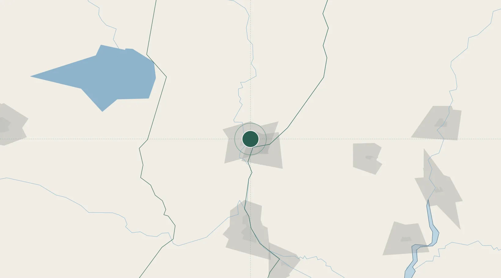
Location
Nearby Logistics Neighbours
Cities
- 1Paraná21 km
- 2Humboldt43 km
- 3Diamante52 km
- 4Villa Hernandarias78 km
- 5General Ramírez79 km
Ports
- 1Parana19 km
- 2Diamante52 km
- 3Puerto San Martin124 km
- 4San Lorenzo128 km
- 5Rosario150 km
Airports
Trade Zones
- 1Zona Franca UPM284 km
- 2UPM Fray Bentos Free Zone284 km
- 3Nueva Palmira Free Zone331 km
- 4Córdoba Free Trade Zone333 km
- 5Montes de Plata Free Zone381 km
DatabookThe Record of Consolidated Knowledge
Argentina beyond logistics?