UN/LOCODE hub · Argentina
ARGRM
General Ramírez
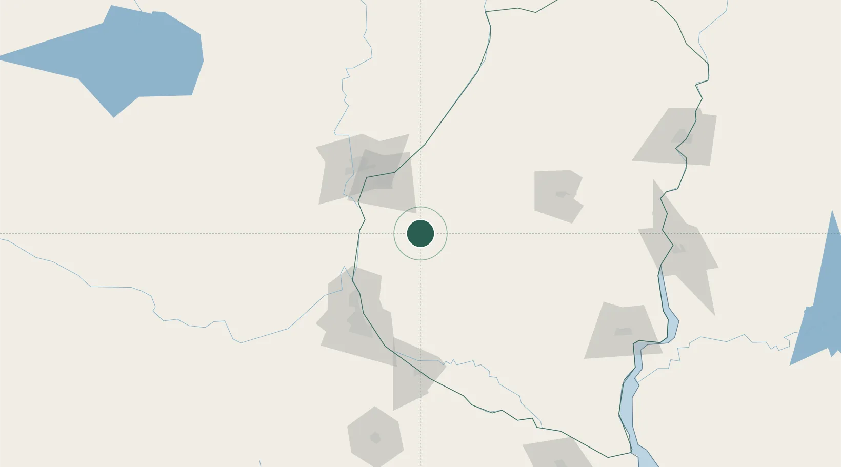
-32.1833°, -60.2000°
8,614
Population
2
Transport functions
Transport Functions
Rail
Road
Hub Profile
Place type
Populated place
Region
Entre Rios
Population
8,614
Time zone
America/Argentina/Cordoba
Elevation
101 m
Location
Nearby Logistics Neighbours
Cities
- 1Diamante44 km
- 2Nogoyá45 km
- 3Paraná59 km
- 4Quebracho/San Lorenzo71 km
- 5Resinfor72 km
Ports
- 1Diamante44 km
- 2Parana61 km
- 3Santa Fe76 km
- 4Puerto San Martin78 km
- 5San Lorenzo81 km
Airports
Trade Zones
- 1Zona Franca UPM210 km
- 2UPM Fray Bentos Free Zone210 km
- 3Nueva Palmira Free Zone252 km
- 4Montes de Plata Free Zone302 km
- 5Zona Sur Buenos Aires316 km
DatabookThe Record of Consolidated Knowledge
Argentina beyond logistics?