UN/LOCODE hub · Argentina
ARVHE
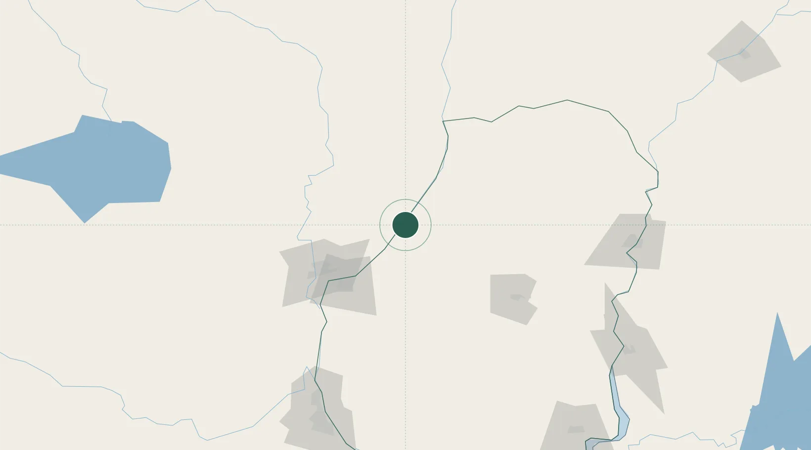
Villa Hernandarias
-31.2333°, -59.9833°
5,375
Population
1
Transport functions
Transport Functions
Port
Hub Profile
Place type
Populated place
Region
Entre Rios
Population
5,375
Time zone
America/Argentina/Cordoba
Elevation
55 m
Location
Nearby Logistics Neighbours
Cities
- 1La Paz62 km
- 2San Javier72 km
- 3Paraná76 km
- 4Santa Fe78 km
- 5Humboldt107 km
Ports
- 1Parana75 km
- 2Santa Fe82 km
- 3Diamante112 km
- 4Puerto San Martin180 km
- 5San Lorenzo183 km
Airports
Trade Zones
- 1Zona Franca UPM266 km
- 2UPM Fray Bentos Free Zone266 km
- 3Nueva Palmira Free Zone330 km
- 4Montes de Plata Free Zone379 km
- 5Zona Sur Buenos Aires403 km
DatabookThe Record of Consolidated Knowledge
Argentina beyond logistics?