Transport Functions
Port
Airport
Hub Profile
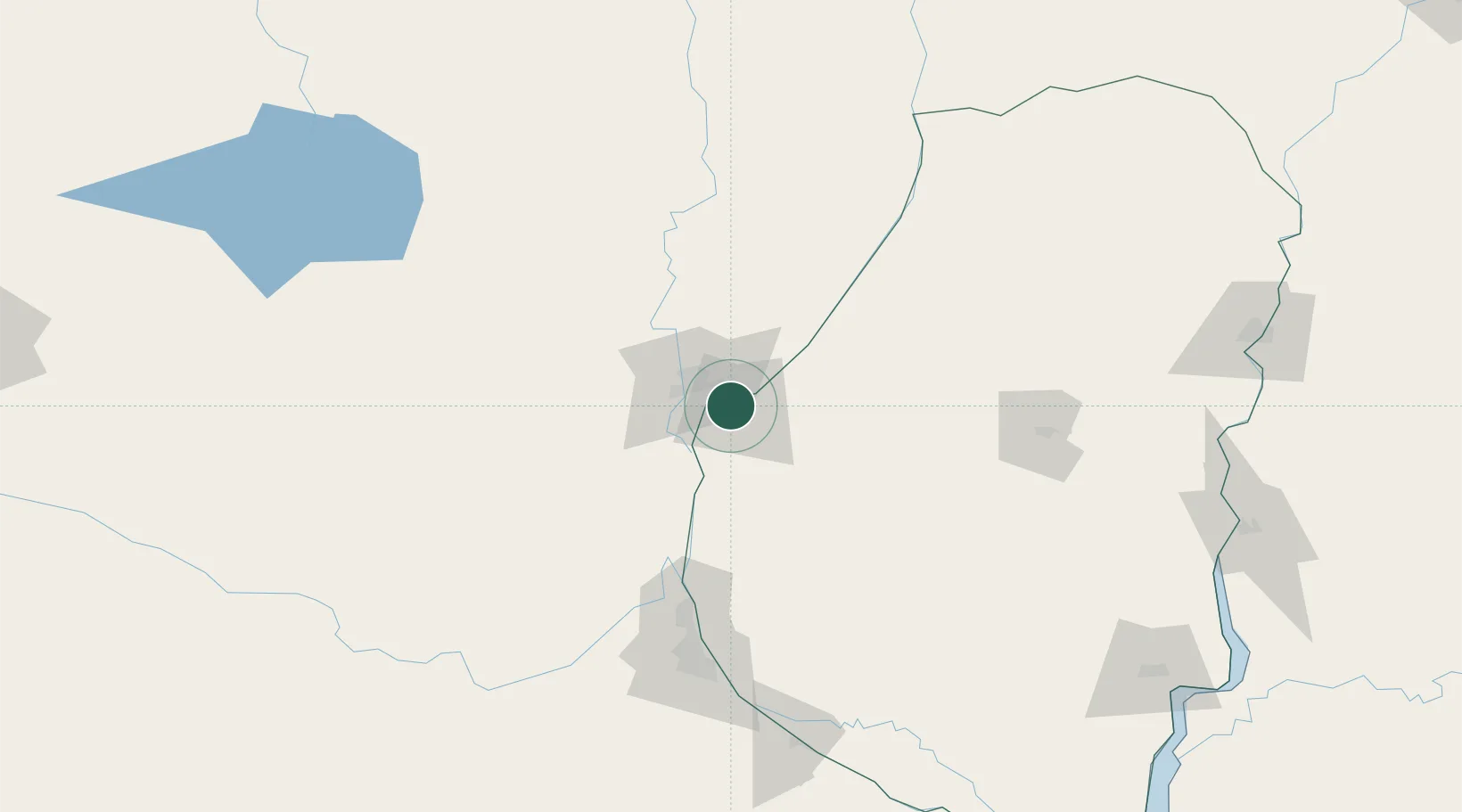
Place type
Regional capital
Region
Entre Rios
Population
247,139
Time zone
America/Argentina/Cordoba
Elevation
78 m
Location
Nearby Logistics Neighbours
Cities
- 1Santa Fe21 km
- 2Diamante39 km
- 3General Ramírez59 km
- 4Humboldt63 km
- 5Villa Hernandarias76 km
Ports
- 1Santa Fe18 km
- 2Diamante39 km
- 3Puerto San Martin111 km
- 4San Lorenzo115 km
- 5Rosario136 km
Airports
Trade Zones
- 1Zona Franca UPM264 km
- 2UPM Fray Bentos Free Zone264 km
- 3Nueva Palmira Free Zone311 km
- 4Córdoba Free Trade Zone349 km
- 5Montes de Plata Free Zone361 km
DatabookThe Record of Consolidated Knowledge
Argentina beyond logistics?