Transport Functions
Multimodal
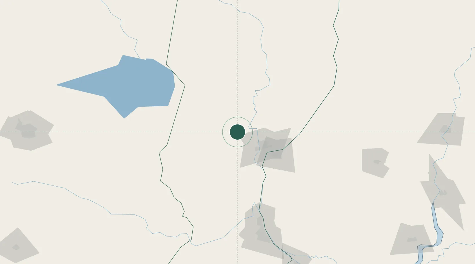
Hub Profile
Place type
Populated place
Region
Santa Fe
Time zone
America/Argentina/Cordoba
Elevation
54 m
Location
Nearby Logistics Neighbours
Cities
- 1Rafaela42 km
- 2Santa Fe43 km
- 3Paraná63 km
- 4Diamante83 km
- 5Canada Rosquin86 km
Ports
- 1Santa Fe45 km
- 2Parana62 km
- 3Diamante83 km
- 4Puerto San Martin148 km
- 5San Lorenzo152 km
Airports
Trade Zones
- 1Córdoba Free Trade Zone294 km
- 2Zona Franca UPM327 km
- 3UPM Fray Bentos Free Zone327 km
- 4Nueva Palmira Free Zone371 km
- 5Montes de Plata Free Zone422 km
DatabookThe Record of Consolidated Knowledge
Argentina beyond logistics?