Transport Functions
Port
Hub Profile
Place type
Provincial seat
Region
Entre Rios
Population
19,545
Time zone
America/Argentina/Cordoba
Elevation
17 m
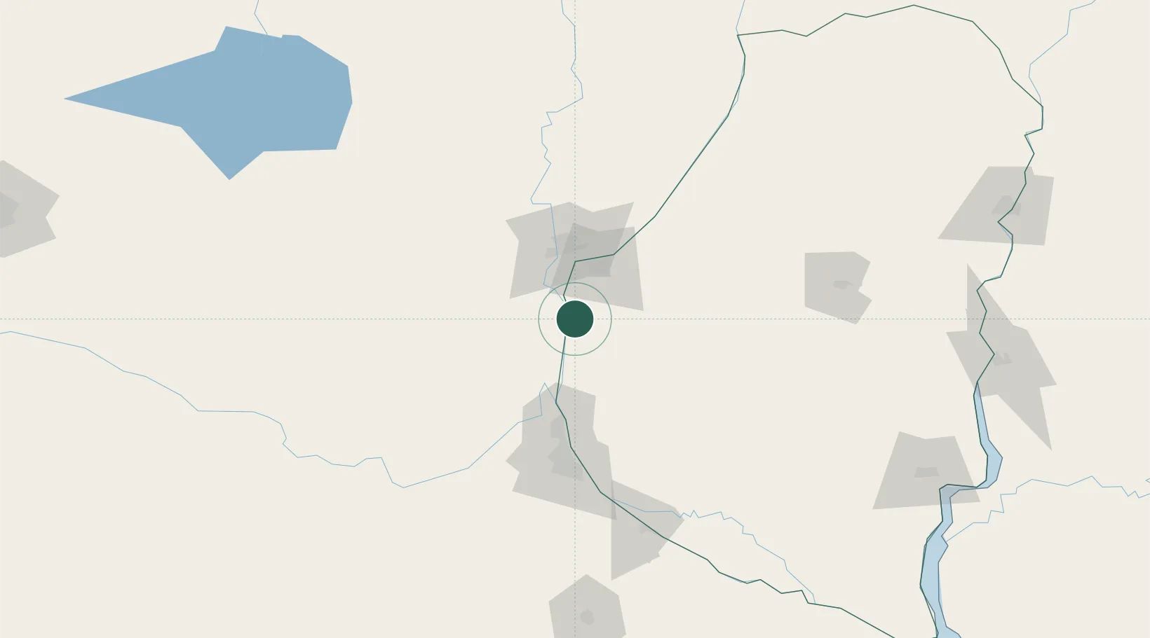
Location
Nearby Logistics Neighbours
Cities
- 1Paraná39 km
- 2General Ramírez44 km
- 3Santa Fe52 km
- 4Timbúes64 km
- 5Quebracho/San Lorenzo65 km
Ports
- 1Parana40 km
- 2Santa Fe47 km
- 3Puerto San Martin73 km
- 4San Lorenzo76 km
- 5Rosario98 km
Airports
Trade Zones
- 1Zona Franca UPM253 km
- 2UPM Fray Bentos Free Zone253 km
- 3Nueva Palmira Free Zone291 km
- 4Montes de Plata Free Zone341 km
- 5Córdoba Free Trade Zone345 km
DatabookThe Record of Consolidated Knowledge
Argentina beyond logistics?