UN/LOCODE hub · Argentina
ARVNA
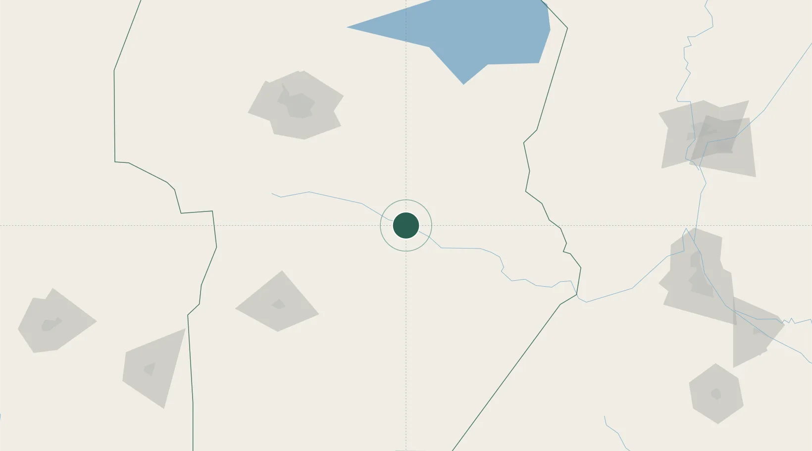
Villa Nueva
-32.4333°, -63.2500°
16,841
Population
1
Transport functions
Transport Functions
Multimodal
Hub Profile
Place type
Populated place
Region
Cordoba
Population
16,841
Time zone
America/Argentina/Cordoba
Elevation
204 m
Location
Nearby Logistics Neighbours
Cities
- 1Ticino35 km
- 2Pozo del Molle54 km
- 3Río Tercero87 km
- 4Monte Maíz105 km
- 5Canals129 km
Ports
- 1Puerto San Martin238 km
- 2San Lorenzo238 km
- 3Diamante248 km
- 4Rosario252 km
- 5Santa Fe256 km
Airports
Trade Zones
- 1Córdoba Free Trade Zone155 km
- 2Zona Franca de San Luis238 km
- 3Justo Daract Free Trade Zone238 km
- 4General Pico Free Zone365 km
- 5Zona Franca UPM473 km
DatabookThe Record of Consolidated Knowledge
Argentina beyond logistics?