Transport Functions
Multimodal
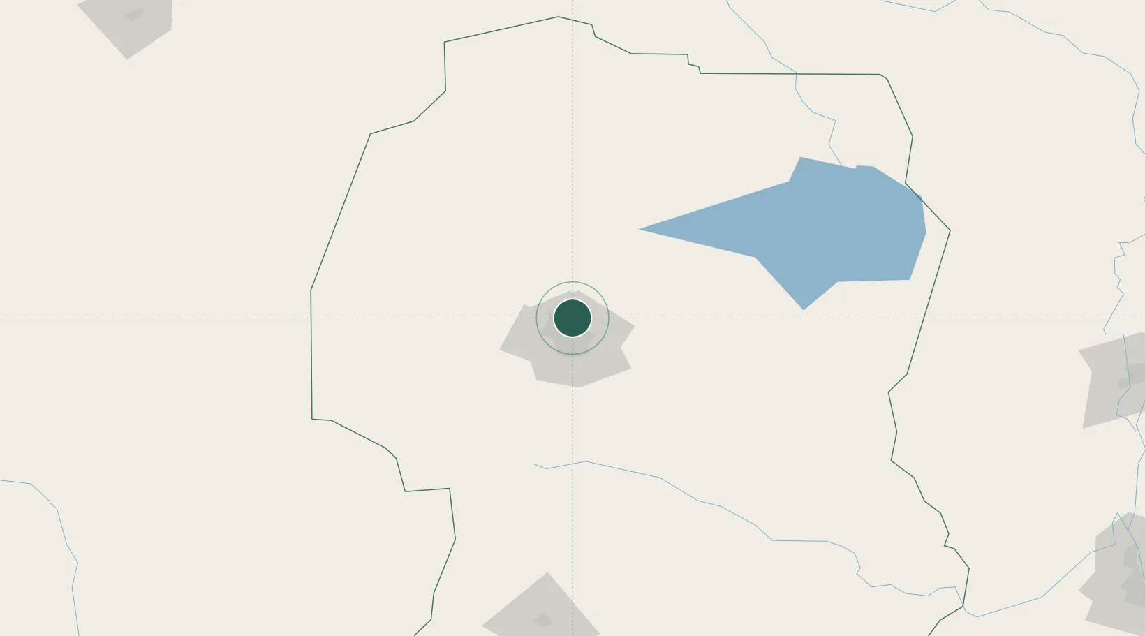
Hub Profile
Place type
Populated place
Region
Cordoba
Time zone
America/Argentina/Cordoba
Elevation
498 m
Location
Nearby Logistics Neighbours
Cities
- 1Monte Cristo23 km
- 2Río Tercero100 km
- 3Pozo del Molle146 km
- 4Villa Nueva156 km
- 5Ticino173 km
Ports
- 1Santa Fe332 km
- 2Diamante345 km
- 3Parana348 km
- 4Puerto San Martin362 km
- 5San Lorenzo363 km
Airports
Trade Zones
- 1Córdoba Free Trade Zone2 km
- 2Zona Franca de San Luis301 km
- 3Justo Daract Free Trade Zone301 km
- 4General Pico Free Zone493 km
- 5Zona Franca Mendoza Free Trade Zone495 km
DatabookThe Record of Consolidated Knowledge
Argentina beyond logistics?