UN/LOCODE hub · Argentina
ARRTO
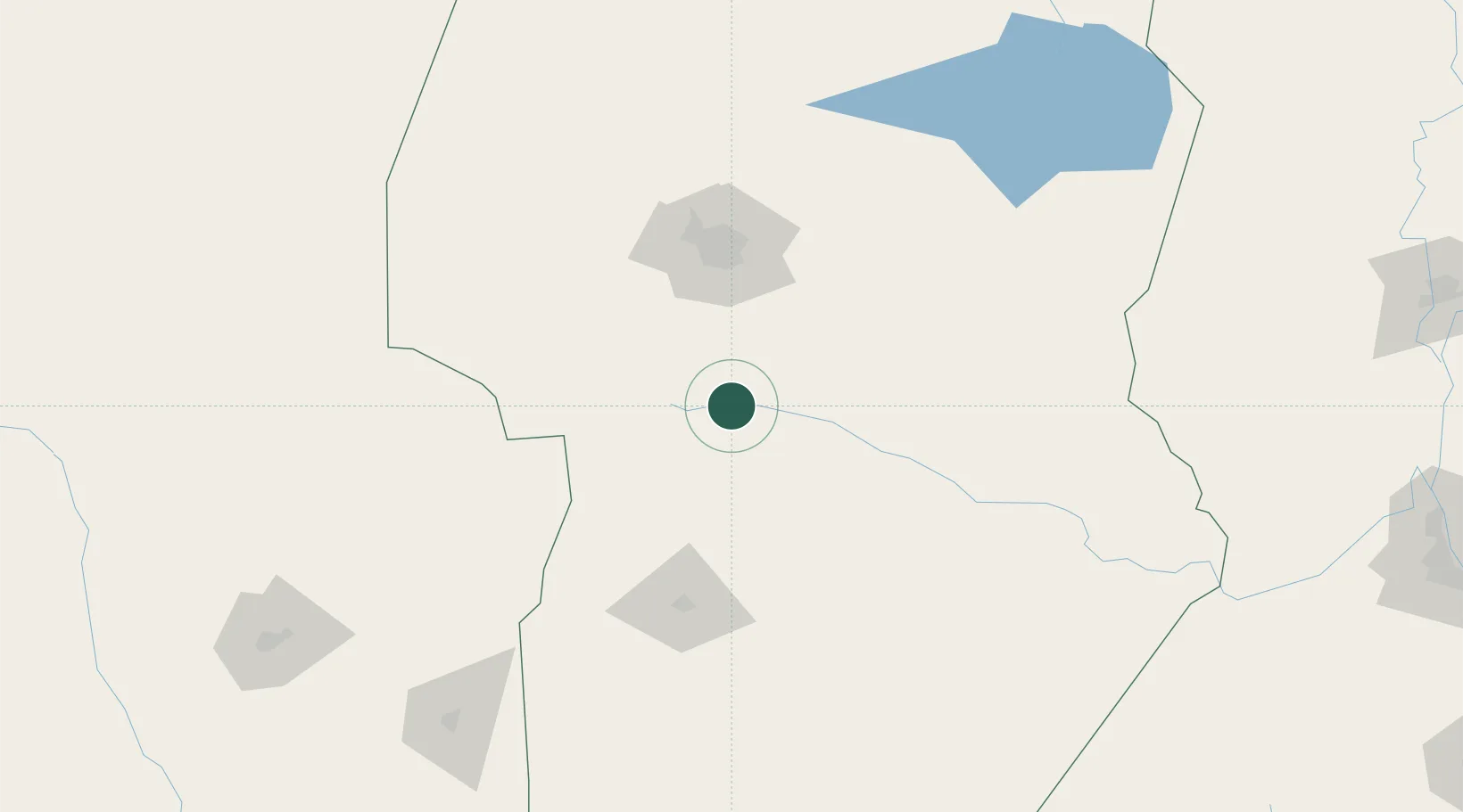
Río Tercero
-32.1667°, -64.1167°
53,389
Population
2
Transport functions
Transport Functions
Rail
Road
Hub Profile
Place type
Populated place
Region
Cordoba
Population
53,389
Time zone
America/Argentina/Cordoba
Elevation
372 m
Location
Nearby Logistics Neighbours
Cities
- 1Ticino86 km
- 2Villa Nueva87 km
- 3Monte Cristo92 km
- 4Juárez Celman100 km
- 5Pozo del Molle114 km
Ports
- 1Puerto San Martin323 km
- 2San Lorenzo324 km
- 3Diamante327 km
- 4Santa Fe328 km
- 5Rosario338 km
Airports
Trade Zones
- 1Córdoba Free Trade Zone98 km
- 2Zona Franca de San Luis210 km
- 3Justo Daract Free Trade Zone211 km
- 4General Pico Free Zone392 km
- 5Zona Franca Mendoza Free Trade Zone466 km
DatabookThe Record of Consolidated Knowledge
Argentina beyond logistics?