Medium airport · Argentina
Brigadier Mayor D Cesar Raul Ojeda AirportSAOU
-33.2732°, -66.3564°
9,678 ft
Longest runway
1
Runways
2,328 ft
Elevation
Runway & Layout

Radio Frequencies
TWR
118.4 MHz
Navaids
UIS VOR San Luis 116.00 MHz
Runways · 1
| Runway | Dimensions | Surface | True heading | Lit |
|---|---|---|---|---|
| 19/01 | 9,678 × 98ft | Asphalt | 187° | ✓ |
Airport Specifications
IATA code
LUQ
ICAO code
SAOU
Airport class
Medium airport
Scheduled service
Yes
Runway surface
Asphalt
Served city
San Luis
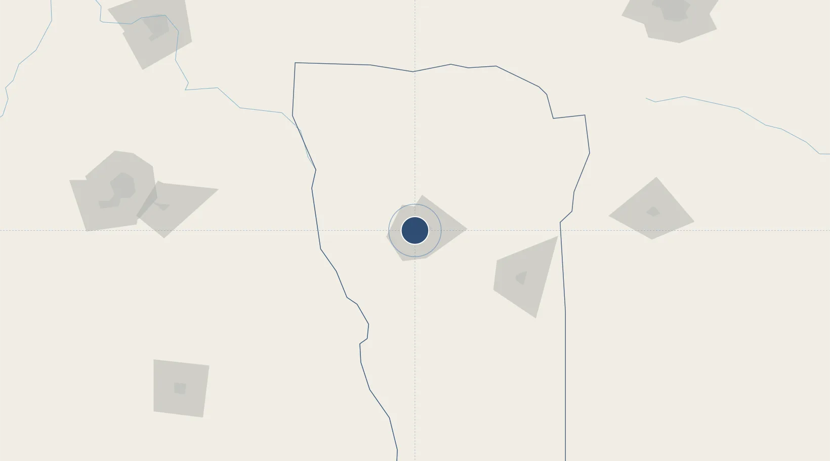
Location
Nearby Logistics Neighbours
Airports
Cities
- 1La Toma73 km
- 2Villa Mercedes93 km
- 3La Paz113 km
- 4Santa Rosa167 km
- 5Ingeniero Giagnoni193 km
Ports
- 1Bahia Quintero (Ventanas)486 km
- 2Puerto San Antonio489 km
- 3Bahia De Valparaiso490 km
- 4San Lorenzo528 km
- 5Puerto San Martin528 km
Trade Zones
- 1Zona Franca de San Luis125 km
- 2Justo Daract Free Trade Zone126 km
- 3Zona Franca Mendoza Free Trade Zone245 km
- 4Córdoba Free Trade Zone301 km
- 5General Pico Free Zone357 km
DatabookThe Record of Consolidated Knowledge
Argentina beyond logistics?