Transport Functions
Multimodal
Hub Profile
Place type
Provincial seat
Region
San Luis
Population
6,663
Time zone
America/Argentina/San_Luis
Elevation
884 m
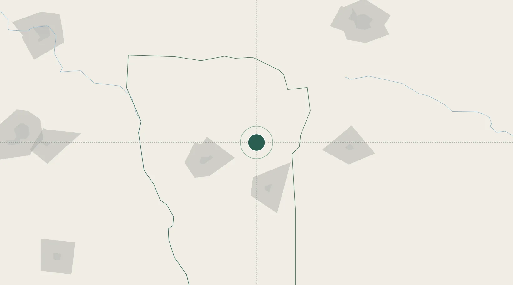
Location
Nearby Logistics Neighbours
Cities
- 1Villa Mercedes70 km
- 2Río Tercero171 km
- 3La Paz186 km
- 4Ticino206 km
- 5Milagro229 km
Ports
- 1San Lorenzo457 km
- 2Puerto San Martin458 km
- 3Rosario465 km
- 4Diamante478 km
- 5Santa Fe487 km
Airports
Trade Zones
- 1Zona Franca de San Luis96 km
- 2Justo Daract Free Trade Zone96 km
- 3Córdoba Free Trade Zone238 km
- 4Zona Franca Mendoza Free Trade Zone313 km
- 5General Pico Free Zone338 km
DatabookThe Record of Consolidated Knowledge
Argentina beyond logistics?