UN/LOCODE hub · Argentina
ARMCR
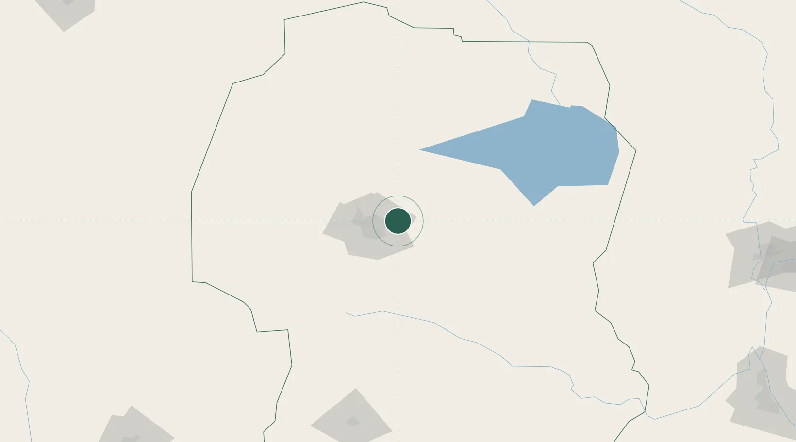
Monte Cristo
-31.3500°, -63.9500°
6,914
Population
1
Transport functions
Transport Functions
Multimodal
Hub Profile
Place type
Populated place
Region
Cordoba
Population
6,914
Time zone
America/Argentina/Cordoba
Elevation
338 m
Location
Nearby Logistics Neighbours
Cities
- 1Juárez Celman23 km
- 2Río Tercero92 km
- 3Pozo del Molle124 km
- 4Villa Nueva137 km
- 5Ticino157 km
Ports
- 1Santa Fe310 km
- 2Diamante322 km
- 3Parana326 km
- 4Puerto San Martin339 km
- 5San Lorenzo341 km
Airports
Trade Zones
- 1Córdoba Free Trade Zone23 km
- 2Zona Franca de San Luis299 km
- 3Justo Daract Free Trade Zone300 km
- 4General Pico Free Zone482 km
- 5Zona Franca Mendoza Free Trade Zone510 km
DatabookThe Record of Consolidated Knowledge
Argentina beyond logistics?