UN/LOCODE hub · Argentina
ARSJO
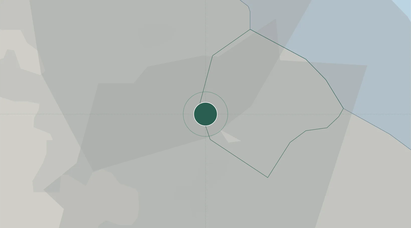
San Justo
-34.6667°, -58.5500°
105,274
Population
2
Transport functions
Transport Functions
Rail
Road
Hub Profile
Place type
Provincial seat
Region
Buenos Aires
Population
105,274
Time zone
America/Argentina/Buenos_Aires
Elevation
29 m
Location
Nearby Logistics Neighbours
Cities
- 1Mataderos5 km
- 2Caseros6 km
- 3Pablo Podestá8 km
- 4Villa Bosch9 km
- 5Laferrere10 km
Ports
- 1Buenos Aires18 km
- 2La Plata64 km
- 3Colonia68 km
- 4Campana69 km
- 5Zarate79 km
Airports
Trade Zones
- 1Zona Sur Buenos Aires5 km
- 2La Plata Free Trade Zone62 km
- 3Montes de Plata Free Zone67 km
- 4Colonia Free Zone69 km
- 5Nueva Palmira Free Zone88 km
DatabookThe Record of Consolidated Knowledge
Argentina beyond logistics?