Transport Functions
Multimodal
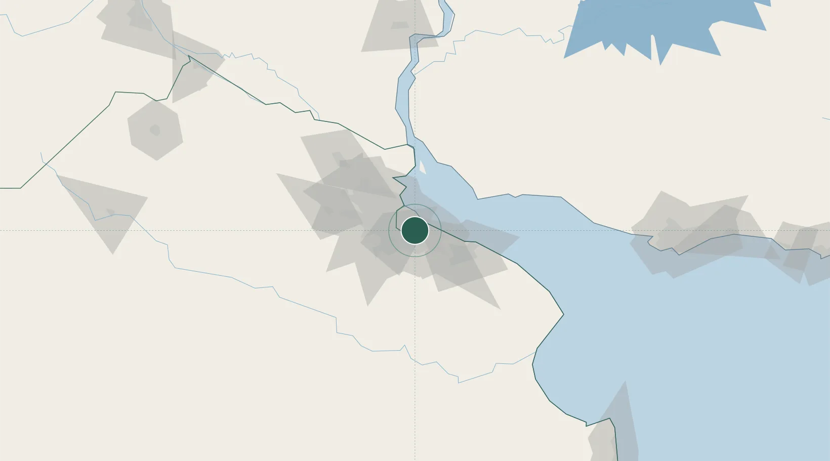
Hub Profile
Place type
Populated place
Region
Buenos Aires
Time zone
America/Argentina/Buenos_Aires
Elevation
13 m
Location
Nearby Logistics Neighbours
Cities
- 1Lanús4 km
- 2Villa Galicia6 km
- 3Villa Dominico8 km
- 4Dock Sur10 km
- 5Quilmes11 km
Ports
- 1Buenos Aires15 km
- 2La Plata47 km
- 3Colonia57 km
- 4Campana84 km
- 5Puerto Sauce92 km
Airports
Trade Zones
- 1Zona Sur Buenos Aires15 km
- 2La Plata Free Trade Zone46 km
- 3Colonia Free Zone58 km
- 4Montes de Plata Free Zone64 km
- 5Nueva Palmira Free Zone94 km
DatabookThe Record of Consolidated Knowledge
Argentina beyond logistics?