Transport Functions
Multimodal
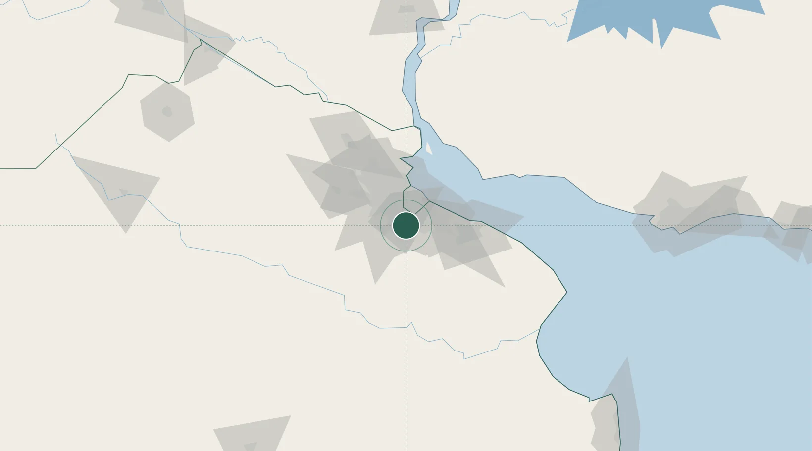
Hub Profile
Place type
Populated place
Region
Buenos Aires
Time zone
America/Argentina/Buenos_Aires
Elevation
18 m
Location
Nearby Logistics Neighbours
Cities
- 1Laferrere14 km
- 2González Catán14 km
- 3Villa Galicia15 km
- 4Remedios de Escalada19 km
- 5Lanús21 km
Ports
- 1Buenos Aires33 km
- 2La Plata58 km
- 3Colonia76 km
- 4Campana90 km
- 5Zarate99 km
Airports
Trade Zones
- 1Zona Sur Buenos Aires25 km
- 2La Plata Free Trade Zone56 km
- 3Colonia Free Zone77 km
- 4Montes de Plata Free Zone83 km
- 5Nueva Palmira Free Zone109 km
DatabookThe Record of Consolidated Knowledge
Argentina beyond logistics?