Transport Functions
Port
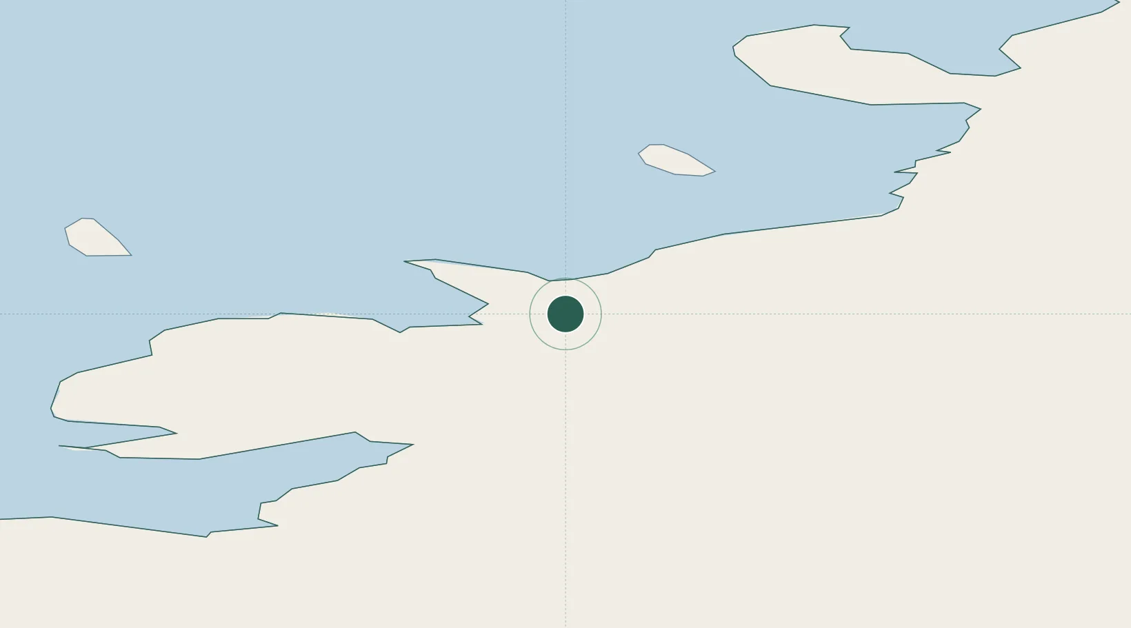
Location
Nearby Logistics Neighbours
Ports
- 1Grytviken2343 km
- 2Stanley3157 km
- 3Mar Del Plata4564 km
- 4Simonstown4678 km
- 5Cape Town4707 km
Airports
- 1Grandfather Skiway714 km
- 2(Duplicate)Wolf's Fang Runway766 km
- 3Amundsen–Scott South Pole Station Airport1885 km
- 4Cape Town International Airport4705 km
- 5Ysterplaat Air Force Base4710 km
Trade Zones
- 1Atlantis Special Economic Zone4744 km
- 2Saldanha Bay Special Economic Zone4797 km
- 3World Trade Center Free Zone4859 km
- 4Aguada Park Free Zone4862 km
- 5Parque Las Ciencias Free Zone4865 km
DatabookThe Record of Consolidated Knowledge
Antarctica beyond logistics?