Transport Functions
Port
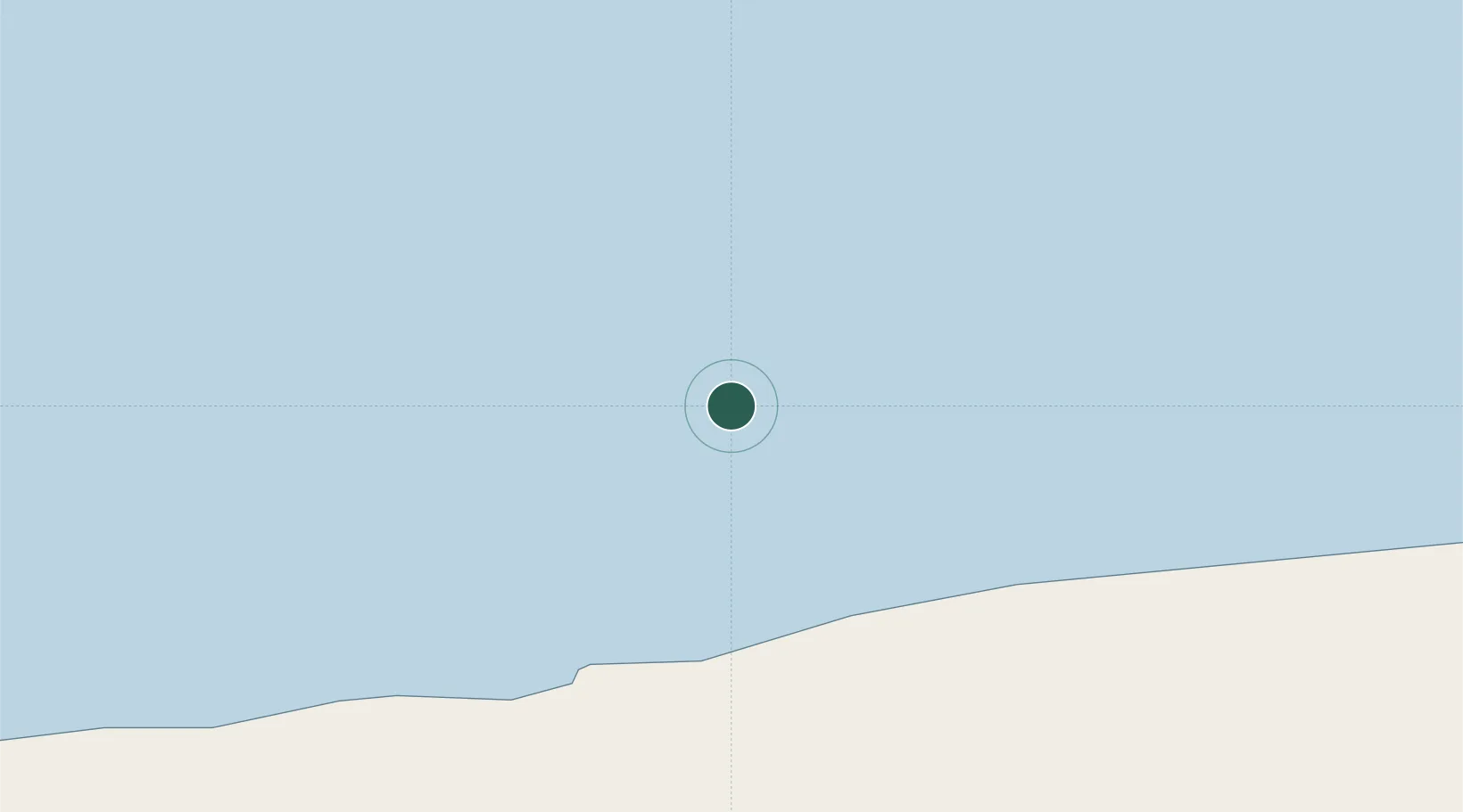
Location
Nearby Logistics Neighbours
Ports
- 1Port Foster1889 km
- 2Grytviken2407 km
- 3Puerto Williams2864 km
- 4Rio Grande2985 km
- 5Stanley2988 km
Airports
Trade Zones
DatabookThe Record of Consolidated Knowledge
Antarctica beyond logistics?