Transport Functions
Port
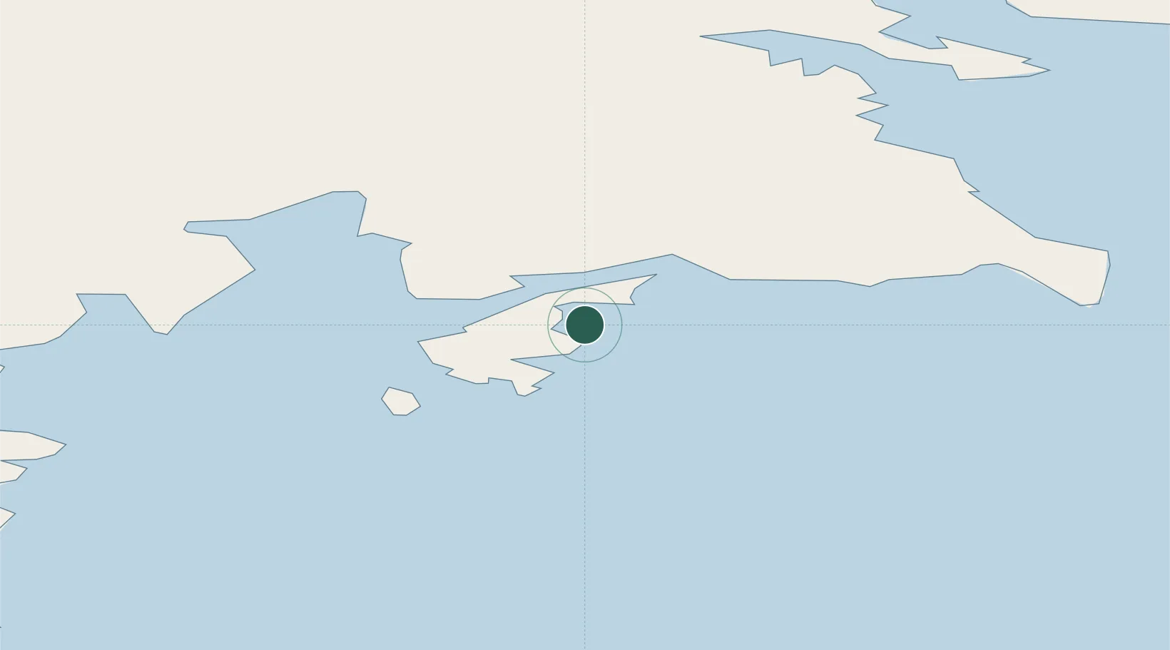
Location
Nearby Logistics Neighbours
Cities
- 1Jang Bogo Station10 km
- 2McMurdo357 km
- 3Dumont d'Urville Station1242 km
- 4Macquarie Island2258 km
- 5Bluff3130 km
Ports
- 1Mcmurdo Station358 km
- 2Bluff Harbor3129 km
- 3Otago Harbor3226 km
- 4Timaru3386 km
- 5Akaroa3462 km
Airports
- 1Boulder Clay Runway7 km
- 2Williams Field Skiway362 km
- 3Invercargill Airport3150 km
- 4Dunedin International Airport3211 km
- 5Manapouri Airport3246 km
Trade Zones
- 1Latrobe Valley Economic Growth Zone4157 km
- 2Hicks Bay Area Special Economic Zone4189 km
- 3Rotuma-Kadavu Tax-Free Region6346 km
- 4Kalabu Tax Free Zone6353 km
- 5Nausori-Ba Tax-Free Region6360 km
DatabookThe Record of Consolidated Knowledge
Antarctica beyond logistics?