UN/LOCODE hub · Antarctica
AQJBS
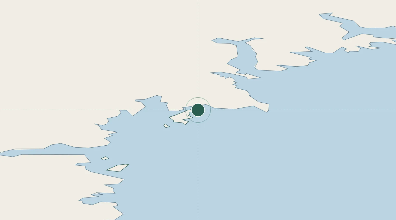
Jang Bogo Station
-74.6000°, 164.2000°
62
Population
1
Transport functions
Transport Functions
Port
Hub Profile
Place type
Populated place
Population
62
Time zone
Antarctica/McMurdo
Elevation
70 m
Location
Nearby Logistics Neighbours
Cities
- 1Mario Zucchelli10 km
- 2McMurdo365 km
- 3Dumont d'Urville Station1239 km
- 4Macquarie Island2249 km
- 5Bluff3121 km
Ports
- 1Mcmurdo Station367 km
- 2Bluff Harbor3120 km
- 3Otago Harbor3216 km
- 4Timaru3376 km
- 5Akaroa3453 km
Airports
- 1Boulder Clay Runway16 km
- 2Williams Field Skiway371 km
- 3Invercargill Airport3141 km
- 4Dunedin International Airport3202 km
- 5Manapouri Airport3237 km
Trade Zones
- 1Latrobe Valley Economic Growth Zone4150 km
- 2Hicks Bay Area Special Economic Zone4180 km
- 3Rotuma-Kadavu Tax-Free Region6337 km
- 4Kalabu Tax Free Zone6343 km
- 5Nausori-Ba Tax-Free Region6350 km
DatabookThe Record of Consolidated Knowledge
Antarctica beyond logistics?