Runway & Layout
Airport Specifications
ICAO code
AQBC
Airport class
Medium airport
Scheduled service
No
Served city
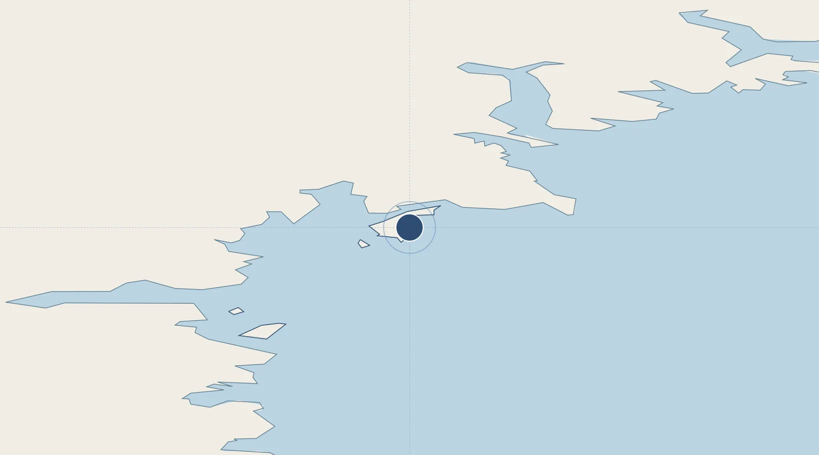
Zucchelli Station
Location
Nearby Logistics Neighbours
Airports
- 1Williams Field Skiway357 km
- 2Invercargill Airport3157 km
- 3Dunedin International Airport3218 km
- 4Manapouri Airport3252 km
- 5Alexandra Aerodrome3294 km
Cities
- 1Mario Zucchelli7 km
- 2Jang Bogo Station16 km
- 3McMurdo351 km
- 4Dumont d'Urville Station1244 km
- 5Macquarie Island2264 km
Ports
- 1Mcmurdo Station353 km
- 2Bluff Harbor3136 km
- 3Otago Harbor3232 km
- 4Timaru3392 km
- 5Akaroa3469 km
Trade Zones
- 1Latrobe Valley Economic Growth Zone4162 km
- 2Hicks Bay Area Special Economic Zone4196 km
- 3Rotuma-Kadavu Tax-Free Region6353 km
- 4Kalabu Tax Free Zone6359 km
- 5Nausori-Ba Tax-Free Region6367 km
DatabookThe Record of Consolidated Knowledge
Antarctica beyond logistics?