Transport Functions
Multimodal
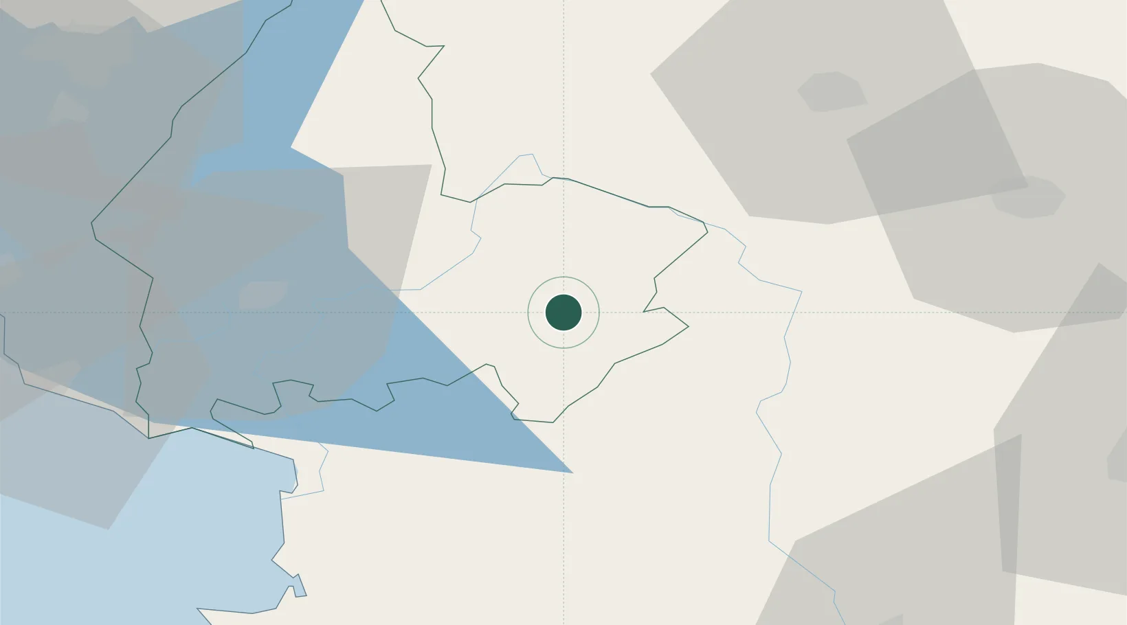
Hub Profile
Place type
District seat
Region
Shkodër County
Population
2,438
Time zone
Europe/Tirane
Elevation
533 m
Location
Nearby Logistics Neighbours
DatabookThe Record of Consolidated Knowledge
Albania beyond logistics?