Transport Functions
Road
Multimodal
Hub Profile
Place type
Regional capital
Region
Kukës County
Population
36,125
Time zone
Europe/Tirane
Elevation
351 m
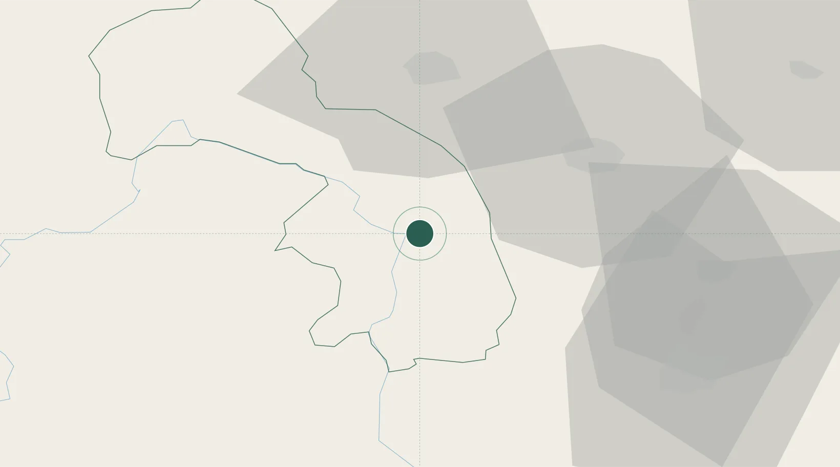
Location
Nearby Logistics Neighbours
Cities
- 1Prizren30 km
- 2Fushe Arrez33 km
- 3Orahovac39 km
- 4Urosevac68 km
- 5Shkozet70 km
Ports
- 1Shengjin74 km
- 2Bar110 km
- 3Porto Romano114 km
- 4Durres117 km
- 5Kotor141 km
Airports
DatabookThe Record of Consolidated Knowledge
Albania beyond logistics?