Transport Functions
Port
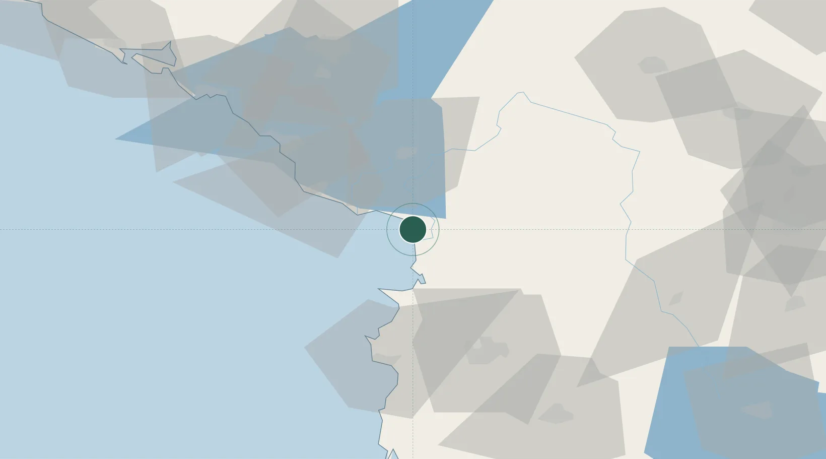
Hub Profile
Place type
Populated place
Region
Lezhë County
Population
6,963
Time zone
Europe/Tirane
Elevation
1 m
Location
Nearby Logistics Neighbours
Cities
- 1Shkozet26 km
- 2Ulcinj33 km
- 3Fushe Arrez47 km
- 4Romano Port50 km
- 5Durrës53 km
Ports
- 1Porto Romano48 km
- 2Bar51 km
- 3Durres55 km
- 4Kotor95 km
- 5Tivat100 km
Airports
Trade Zones
DatabookThe Record of Consolidated Knowledge
Albania beyond logistics?