Export Processing Zone · Albania

Shkodër Industrial Park Inactive
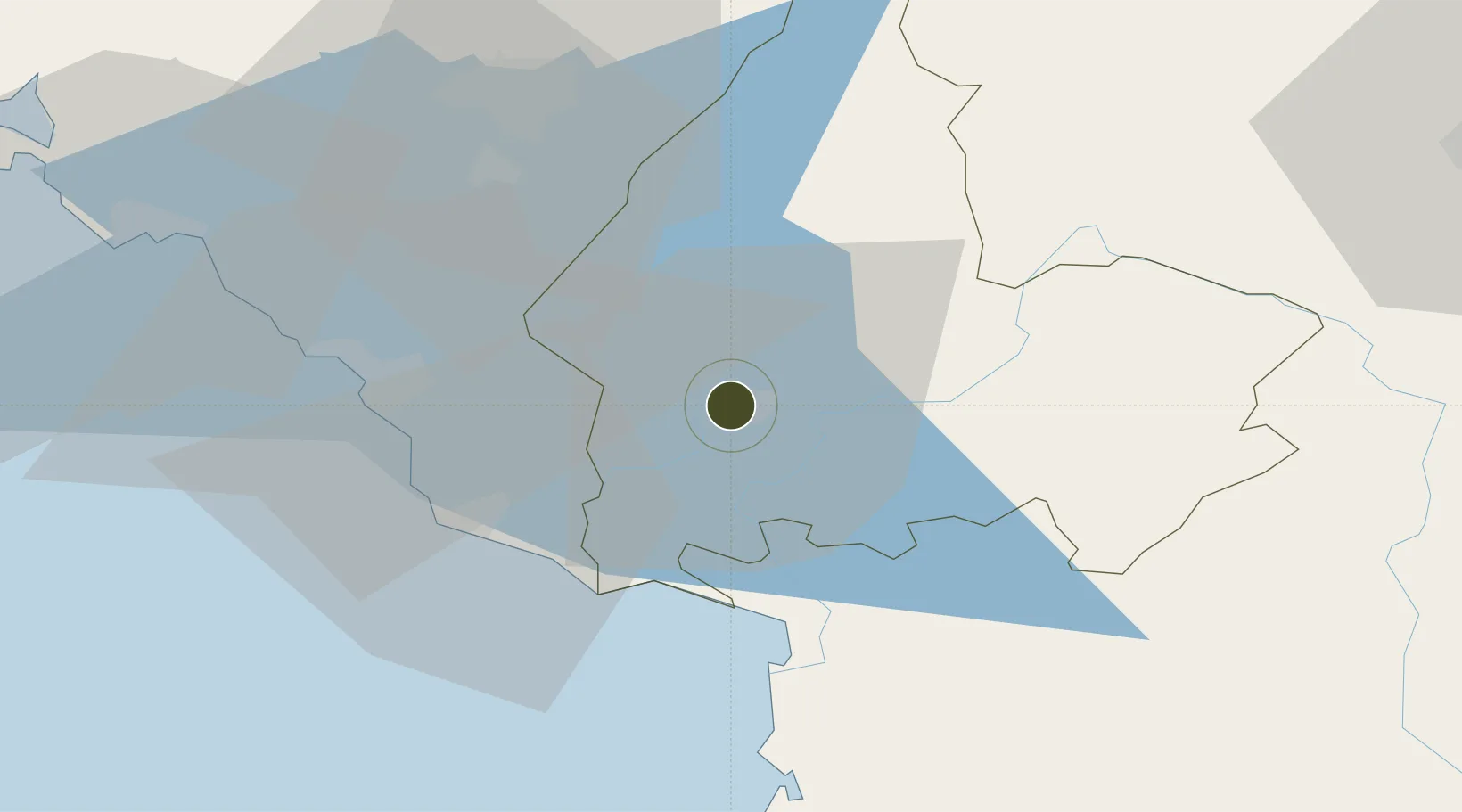
42.0809°, 19.5260°
137 ha
Zone area
30.0 km
Nearest port
38.3 km
Nearest airport

Gateway access

Nearest neighbours — logibook spatial index (haversine) over the source coordinates

Zone profile

Zone type
Export Processing Zone
Open Zone Map
Region
Shkodër
Open Zone Map
Status
Inactive
Open Zone Map
Management
Public
Open Zone Map
Operator
Shkoder Municipality
Open Zone Map
Legal framework
Law No. 7764 Dated 02.11.1993, Law No. 55/2015, Law No. 9789 Dated 19.07.2007, DCM 646: 22.07.2015, DCM 647: 22.07.2015
Open Zone Map

Location

Location of ozm-21
Natural Earth 10m (public domain) · Shkodër · ozm-21 · 42.08, 19.53GoogleOSMYandex

Nearby Logistics Neighbours

Ports
  1. 1Shengjin30 km
  2. 2Bar37 km
  3. 3Kotor73 km
  4. 4Porto Romano78 km
  5. 5Tivat79 km
Nearest neighbours — logibook spatial index (haversine) over the source coordinates
Airports
  1. 1Podgorica Airport / Podgorica Golubovci Airbase38 km
  2. 2Kukës International Airport74 km
  3. 3Tivat Airport75 km
  4. 4Tirana International Airport Mother Teresa76 km
  5. 5Dubrovnik Ruđer Bošković Airport117 km
Nearest neighbours — logibook spatial index (haversine) over the source coordinates
Cities
  1. 1Shkozet6 km
  2. 2Shëngjin31 km
  3. 3Ulcinj33 km
  4. 4Bar35 km
  5. 5Podgorica40 km
Nearest neighbours — logibook spatial index (haversine) over the source coordinates
Trade Zones
  1. 1Koplik Technical and Economic Development Area17 km
  2. 2Shëngjin Industrial Complex31 km
  3. 3Lezhë Industrial Park34 km
  4. 4Port of Bar Free Zone36 km
  5. 5Free Zone Novi Duvanski Kombinat Podgorica46 km
Nearest neighbours — logibook spatial index (haversine) over the source coordinates
DatabookThe Record of Consolidated Knowledge
Albania beyond logistics?
Browse databook

All Sources

Trade ZonesOpen Zone Map
CC BY
Portsthe NGA World Port Index
Public domain (US gov)
AirportsOurAirports
Public domain
LocationsUN/LOCODE
UN/LOCODE — free
← Albania trade zones