Transport Functions
Multimodal
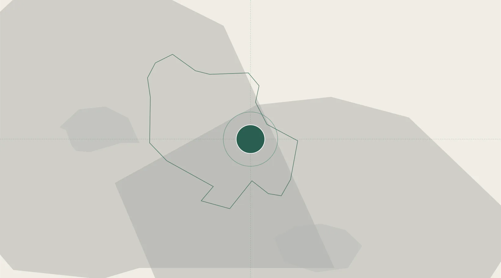
Hub Profile
Region
25
Location
Nearby Logistics Neighbours
Ports
- 1Shengjin107 km
- 2Bar133 km
- 3Porto Romano151 km
- 4Kotor155 km
- 5Durres155 km
Airports
DatabookThe Record of Consolidated Knowledge
Serbia beyond logistics?