Free Trade Zone · Kosovo

Free Economic Zone in Gjakovë Djakova Under Development
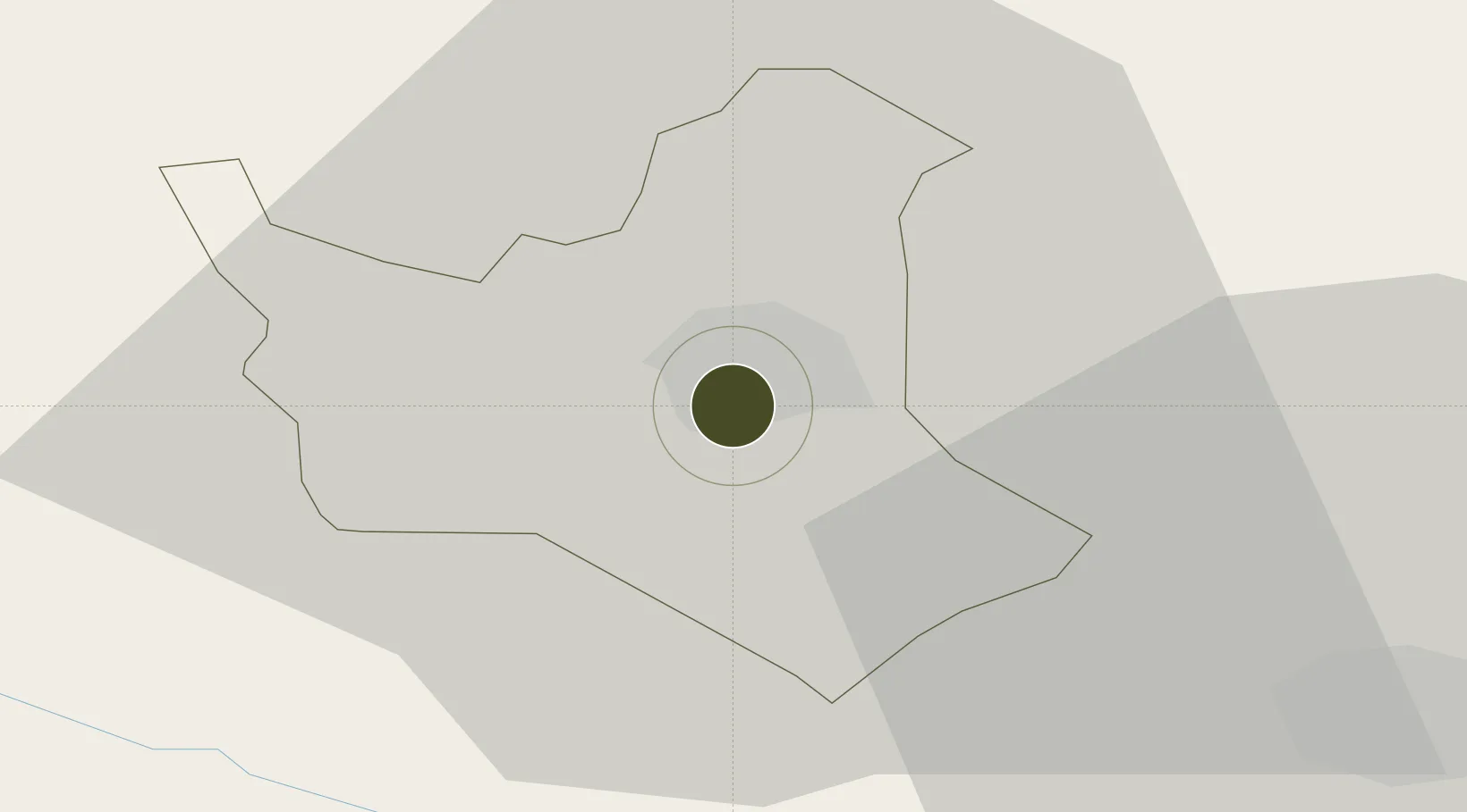
42.3790°, 20.4267°
487 ha
Zone area
92.5 km
Nearest port
38.2 km
Nearest airport

Gateway access

Nearest neighbours — logibook spatial index (haversine) over the source coordinates

Zone profile

Zone type
Free Trade Zone
Open Zone Map
Region
Đakovica
Open Zone Map
Status
Under Development
Open Zone Map
Management
Public
Open Zone Map
Operator
Ministry of Trade and Industry through Kosovo Investment and Enterprise Support Agency in Kosovo
Open Zone Map
Legal framework
Law No. 04/L-159 on Economic Zones: Official Gazette of the Republic of Kosovo No. 6 / 12 March 2013, Decision no. 02/178 dated 18.03.2014
Open Zone Map

Location

Location of ozm-2678
Natural Earth 10m (public domain) · Đakovica · ozm-2678 · 42.38, 20.43GoogleOSMYandex

Nearby Logistics Neighbours

Ports
  1. 1Shengjin93 km
  2. 2Bar115 km
  3. 3Kotor136 km
  4. 4Porto Romano139 km
  5. 5Tivat142 km
Nearest neighbours — logibook spatial index (haversine) over the source coordinates
Cities
  1. 1Orahovac18 km
  2. 2Kukës33 km
  3. 3Prizren33 km
  4. 4Fushe Arrez50 km
  5. 5Urosevac59 km
Nearest neighbours — logibook spatial index (haversine) over the source coordinates
Trade Zones
  1. 1Economic Zone In Opterushë-Rahovec23 km
  2. 2Dutch Industrial Park in Prizren (Zinkunie)28 km
  3. 3Industrial Park in Suha Reka30 km
  4. 4Free Economic Zone in Prizren30 km
  5. 5Agro-Industrial Zone of Suhareka33 km
Nearest neighbours — logibook spatial index (haversine) over the source coordinates
DatabookThe Record of Consolidated Knowledge
Kosovo beyond logistics?
Browse databook

All Sources

Trade ZonesOpen Zone Map
CC BY
Portsthe NGA World Port Index
Public domain (US gov)
AirportsOurAirports
Public domain
LocationsUN/LOCODE
UN/LOCODE — free
← Kosovo trade zones