Large airport · Montenegro

Podgorica Airport / Podgorica Golubovci AirbaseLYPG
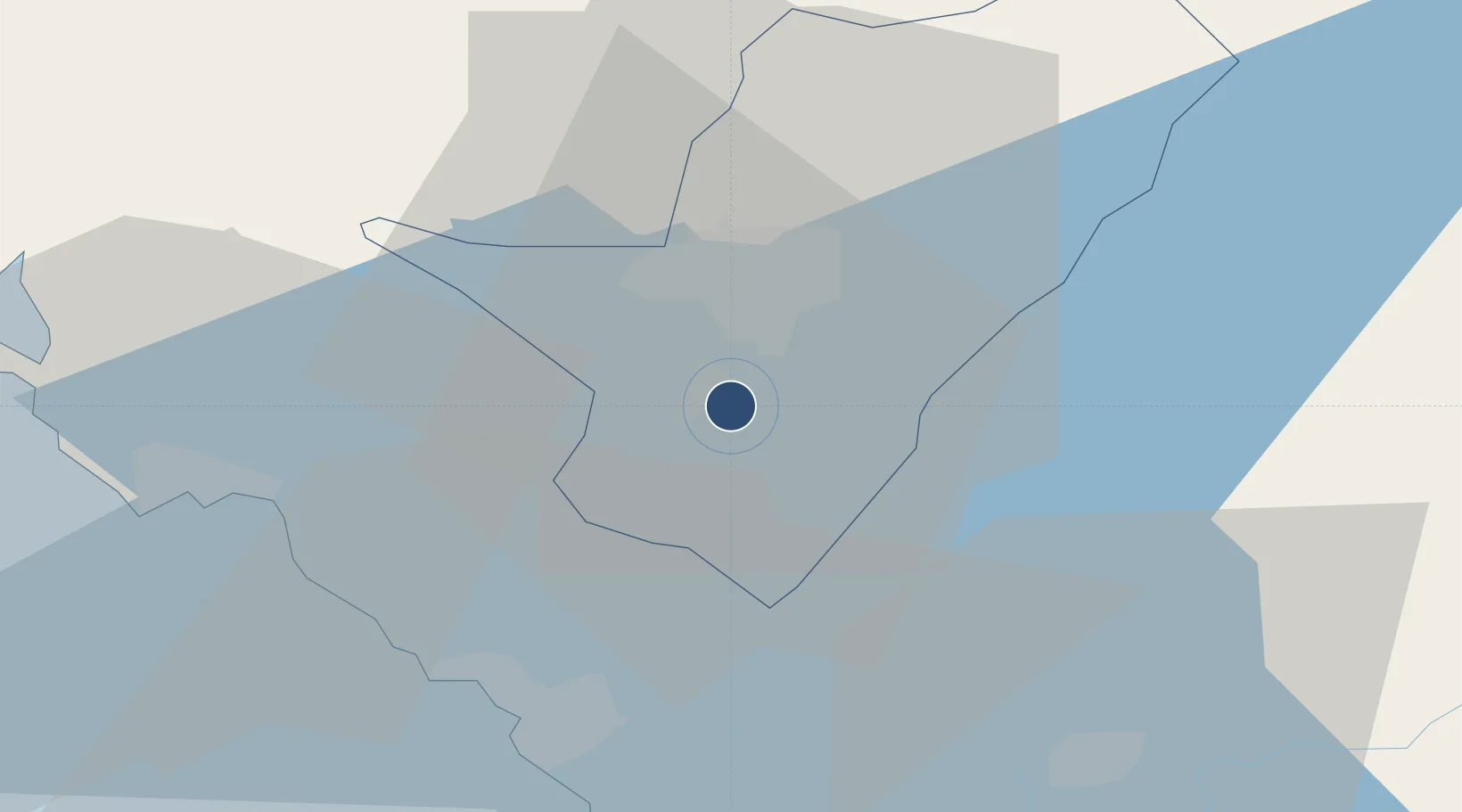
42.3594°, 19.2519°
8,202 ft
Longest runway
1
Runways
141 ft
Elevation

Runway & Layout

Podgorica Airport / Podgorica Golubovci Airbase runway & taxiway layout
Runway & taxiway layout — OpenStreetMap (ODbL) / OurAirports

Radio Frequencies

TWR
118.2 MHz
APP
118.7 MHz
OurAirports

Navaids

DAN NDB Podgorica 312 kHz
POD VOR-DME Podgorica 113.00 MHz
POD NDB Podgorica 335 kHz
OurAirports

Runways · 1

RunwayDimensions SurfaceTrue headingLit
18/36 8,202 × 148ft Asphalt 184°
OurAirports

Airport Specifications

IATA code
TGD
OurAirports
ICAO code
LYPG
OurAirports
Airport class
Large airport
OurAirports
Scheduled service
Yes
OurAirports
Runway surface
Asphalt
OurAirports
Served city
Podgorica
OurAirports

Location

Location of LYPG
Natural Earth 10m (public domain) · Podgorica · LYPG · 42.36, 19.25GoogleOSMYandex

Nearby Logistics Neighbours

Airports
  1. 1Tivat Airport44 km
  2. 2Dubrovnik Ruđer Bošković Airport84 km
  3. 3Kukës International Airport102 km
  4. 4Tirana International Airport Mother Teresa112 km
  5. 5Priština Adem Jashari International Airport148 km
Nearest neighbours — logibook spatial index (haversine) over the source coordinates
Cities
  1. 1Podgorica2 km
  2. 2Bar19 km
  3. 3Petrovac32 km
  4. 4Budva35 km
  5. 5Kotor40 km
Nearest neighbours — logibook spatial index (haversine) over the source coordinates
Ports
  1. 1Bar34 km
  2. 2Kotor40 km
  3. 3Tivat46 km
  4. 4Risan49 km
  5. 5Shengjin67 km
Nearest neighbours — logibook spatial index (haversine) over the source coordinates
Trade Zones
  1. 1Free Zone Novi Duvanski Kombinat Podgorica9 km
  2. 2Koplik Technical and Economic Development Area22 km
  3. 3Port of Bar Free Zone33 km
  4. 4Shkodër Industrial Park38 km
  5. 5Port of Kotor Free Zone40 km
Nearest neighbours — logibook spatial index (haversine) over the source coordinates
DatabookThe Record of Consolidated Knowledge
Montenegro beyond logistics?
Browse databook

All Sources

AirportsOurAirports
Public domain
Portsthe NGA World Port Index
Public domain (US gov)
LocationsUN/LOCODE
UN/LOCODE — free
Trade Zonesthe World Bank SEZ database
CC BY 4.0
Trade ZonesOpen Zone Map
CC BY
InfrastructureOpenStreetMap
ODbL 1.0
← Montenegro airports