About
Methodology
Sources
Licensing
English
EN
English
TR
Türkçe
DE
Deutsch
FR
Français
ES
Español
IT
Italiano
PT
Português
NL
Nederlands
PL
Polski
RU
Русский
UK
Українська
CS
Čeština
RO
Română
EL
Ελληνικά
BG
Български
AR
العربية
FA
فارسی
UR
اردو
HI
हिन्दी
BN
বাংলা
ID
Bahasa Indonesia
VI
Tiếng Việt
ZH
中文
JA
日本語
KO
한국어
logibook
/
Countries
/
Serbia
/
Locations
/
Prizren
UN/LOCODE hub ·
Serbia
RS
PRZ
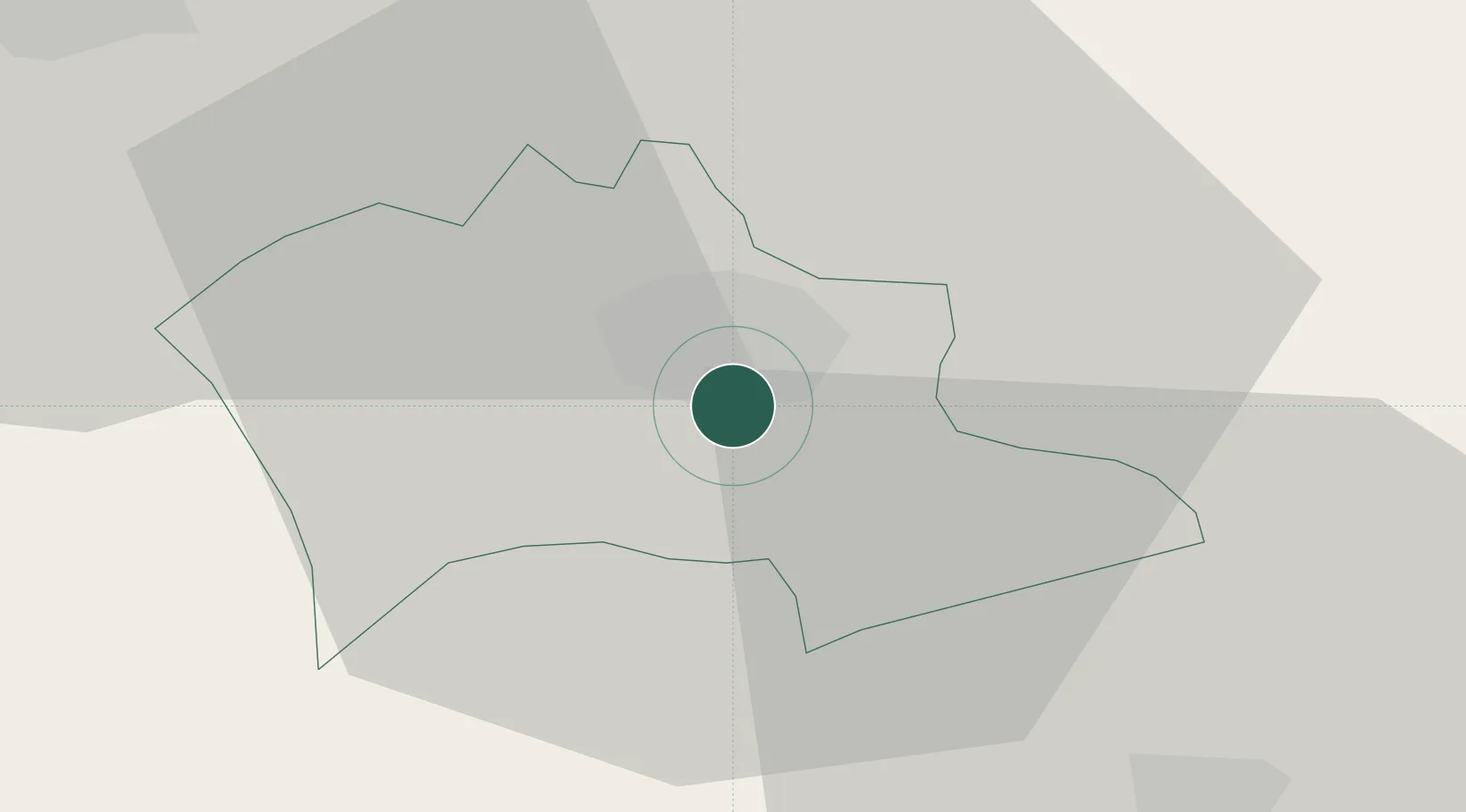
Prizren
42.2000°, 20.7500°
2
Transport functions
Transport Functions
Rail
Road
UN/LOCODE
Location
Natural Earth 10m (public domain) · Prizren · RSPRZ · 42.20, 20.75
Google ↗
OSM ↗
Yandex ↗
Nearby Logistics Neighbours
Cities
1
Orahovac
22 km
2
Kukës
30 km
3
Urosevac
38 km
4
Lipljan
47 km
5
Pristina
62 km
Nearest neighbours — logibook spatial index (haversine) over the source coordinates
Ports
1
Shengjin
104 km
2
Bar
138 km
3
Porto Romano
143 km
4
Durres
146 km
5
Kotor
165 km
Nearest neighbours — logibook spatial index (haversine) over the source coordinates
Airports
1
Kukës International Airport
33 km
2
Priština Adem Jashari International Airport
48 km
3
Skopje International Airport
77 km
4
Ohrid St. Paul the Apostle Airport
113 km
5
Tirana International Airport Mother Teresa
122 km
Nearest neighbours — logibook spatial index (haversine) over the source coordinates
Trade Zones
1
Free Economic Zone in Prizren
3 km
2
Dutch Industrial Park in Prizren (Zinkunie)
6 km
3
Industrial Park in Suha Reka
16 km
4
Agro-Industrial Zone of Suhareka
19 km
5
Economic Zone In Opterushë-Rahovec
19 km
Nearest neighbours — logibook spatial index (haversine) over the source coordinates
Data
book
The Record of Consolidated Knowledge
Serbia beyond logistics?
Browse databook
→
All Sources
Locations
UN/LOCODE
UN/LOCODE — free
↗
Ports
the NGA World Port Index
Public domain (US gov)
↗
Airports
OurAirports
Public domain
↗
Trade Zones
the World Bank SEZ database
CC BY 4.0
↗
Trade Zones
Open Zone Map
CC BY
↗
← Serbia locations