UN/LOCODE hub · Albania
ALSHZ

Shkozet

42.0333°, 19.5667°
1
Transport functions

Transport Functions

Multimodal
UN/LOCODE

Hub Profile

Place type
Populated place
GeoNames
Region
Tirana
GeoNames
Time zone
Europe/Tirane
GeoNames
Elevation
10 m
GeoNames

Location

Location of ALSHZ
Natural Earth 10m (public domain) · Tirana · ALSHZ · 42.03, 19.57GoogleOSMYandex

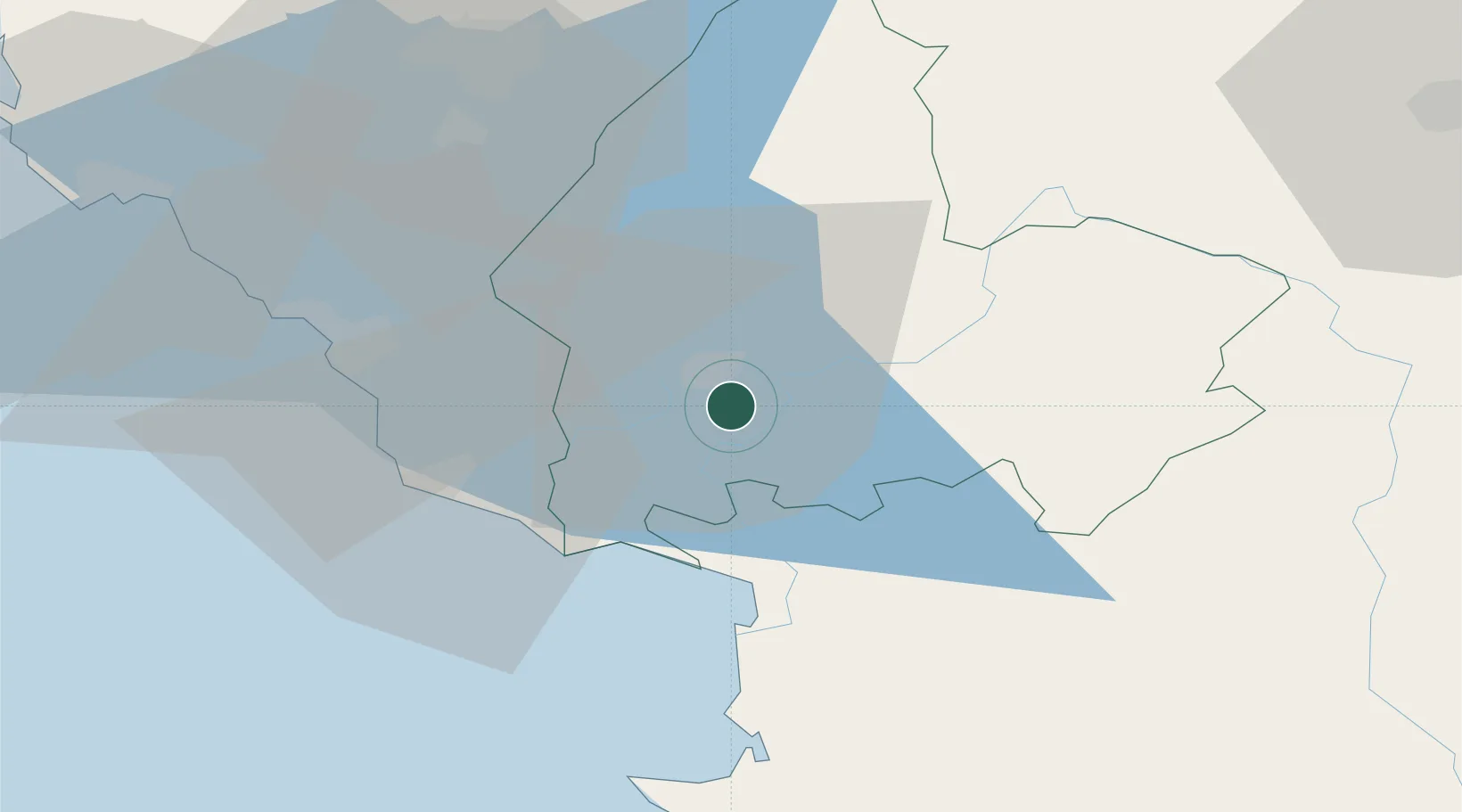
Nearby Logistics Neighbours

Cities
  1. 1Shëngjin26 km
  2. 2Ulcinj33 km
  3. 3Fushe Arrez37 km
  4. 4Bar40 km
  5. 5Podgorica46 km
Nearest neighbours — logibook spatial index (haversine) over the source coordinates
Ports
  1. 1Shengjin24 km
  2. 2Bar40 km
  3. 3Porto Romano73 km
  4. 4Kotor79 km
  5. 5Durres80 km
Nearest neighbours — logibook spatial index (haversine) over the source coordinates
Airports
  1. 1Podgorica Airport / Podgorica Golubovci Airbase45 km
  2. 2Tirana International Airport Mother Teresa70 km
  3. 3Kukës International Airport70 km
  4. 4Tivat Airport81 km
  5. 5Dubrovnik Ruđer Bošković Airport122 km
Nearest neighbours — logibook spatial index (haversine) over the source coordinates
Trade Zones
  1. 1Shkodër Industrial Park6 km
  2. 2Koplik Technical and Economic Development Area23 km
  3. 3Shëngjin Industrial Complex26 km
  4. 4Lezhë Industrial Park28 km
  5. 5Port of Bar Free Zone40 km
Nearest neighbours — logibook spatial index (haversine) over the source coordinates
DatabookThe Record of Consolidated Knowledge
Albania beyond logistics?
Browse databook

All Sources

LocationsUN/LOCODE
UN/LOCODE — free
Portsthe NGA World Port Index
Public domain (US gov)
AirportsOurAirports
Public domain
Trade Zonesthe World Bank SEZ database
CC BY 4.0
Trade ZonesOpen Zone Map
CC BY
← Albania locations