Transport Functions
Road
Multimodal
Hub Profile
Place type
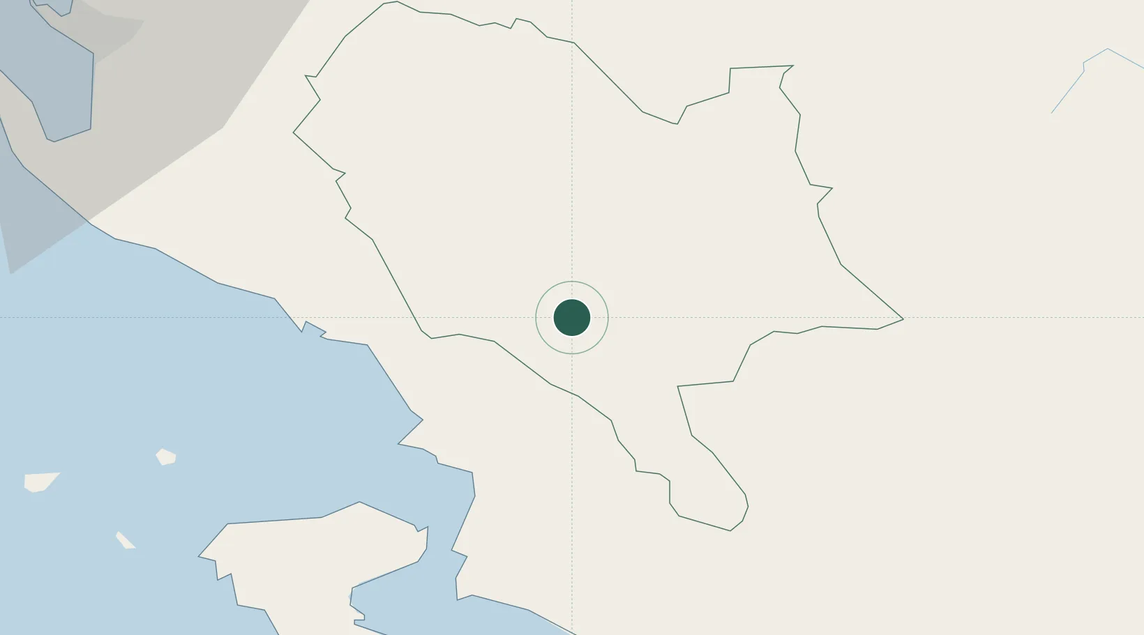
Regional capital
Region
Gjirokastër County
Population
23,437
Time zone
Europe/Tirane
Elevation
286 m
Location
Nearby Logistics Neighbours
Cities
- 1Sarandë26 km
- 2Himare37 km
- 3Butrint39 km
- 4Kassiopis39 km
- 5Kassiopi Corfu39 km
Airports
Trade Zones
- 1Gjirokastër Freezone2 km
- 2Përmet Freezone25 km
- 3Vlora Technical and Economic Development Area75 km
- 4Korçë Freezone83 km
- 5Fier Freezone85 km
DatabookThe Record of Consolidated Knowledge
Albania beyond logistics?