Transport Functions
Rail
Airport
Postal
Hub Profile
Place type
Regional capital
Region
Guizhou
Population
3,037,159
Time zone
Asia/Shanghai
Elevation
1,087 m
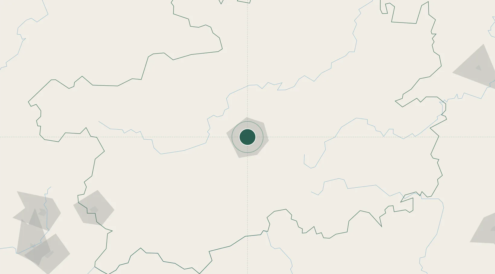
Location
Nearby Logistics Neighbours
Ports
- 1Fang-Cheng563 km
- 2Qinzhou572 km
- 3Beihai616 km
- 4Cam Pha621 km
- 5Hon Gai628 km
Airports
- 1Guiyang Longdongbao International Airport11 km
- 2Anshun Huangguoshu Airport90 km
- 3Jiuzhou Airport115 km
- 4Kaili Huangping Airport135 km
- 5Bijie Feixiong Airport144 km
DatabookThe Record of Consolidated Knowledge
China beyond logistics?