Diversified Zone · China

Jining Economic Development Zone Active
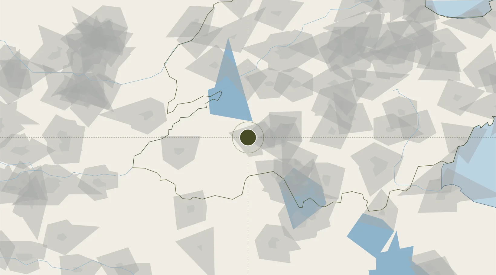
35.4429°, 116.4600°
1,200 ha
Zone area
267.0 km
Nearest port
19.6 km
Nearest airport

Gateway access

Nearest neighbours — logibook spatial index (haversine) over the source coordinates

Zone profile

Zone type
Diversified Zone
Open Zone Map
Region
Shandong
Open Zone Map
Status
Active
Open Zone Map
Management
Public
Open Zone Map
Operator
Jining Economic Development Zone Management Committee
Open Zone Map
Legal framework
Approved by the People's government of Shandong Province in 1998 to set up the provincial development zone
Open Zone Map

Location

Location of ozm-723
Natural Earth 10m (public domain) · Shandong · ozm-723 · 35.44, 116.46GoogleOSMYandex

Nearby Logistics Neighbours

Ports
  1. 1Lanshan267 km
  2. 2Rizhao282 km
  3. 3Lianyungang283 km
  4. 4Qingdao Gang350 km
  5. 5Tianjin Xin Gang410 km
Nearest neighbours — logibook spatial index (haversine) over the source coordinates
Airports
  1. 1Jining Qufu Airport20 km
  2. 2Jining Da'an Airport34 km
  3. 3Heze Mudan Airport70 km
  4. 4Guodu Air Base122 km
  5. 5Shangqiu Air Base143 km
Nearest neighbours — logibook spatial index (haversine) over the source coordinates
Cities
  1. 1Jining11 km
  2. 2Zhangqiu81 km
  3. 3Taian102 km
  4. 4Qingguji / Shangqiu105 km
  5. 5Zaozhuang106 km
Nearest neighbours — logibook spatial index (haversine) over the source coordinates
Trade Zones
  1. 1Rencheng Economic Development Zone11 km
  2. 2Jiaxiang Economic Development Zone19 km
  3. 3Juye Industrial Park31 km
  4. 4Yanzhou Economic Development Zone34 km
  5. 5Jinxiang Economic Development Zone40 km
Nearest neighbours — logibook spatial index (haversine) over the source coordinates
DatabookThe Record of Consolidated Knowledge
China beyond logistics?
Browse databook

All Sources

Trade ZonesOpen Zone Map
CC BY
Portsthe NGA World Port Index
Public domain (US gov)
AirportsOurAirports
Public domain
LocationsUN/LOCODE
UN/LOCODE — free
← China trade zones