Diversified Zone · China

Qufu Economic Development Zone Active
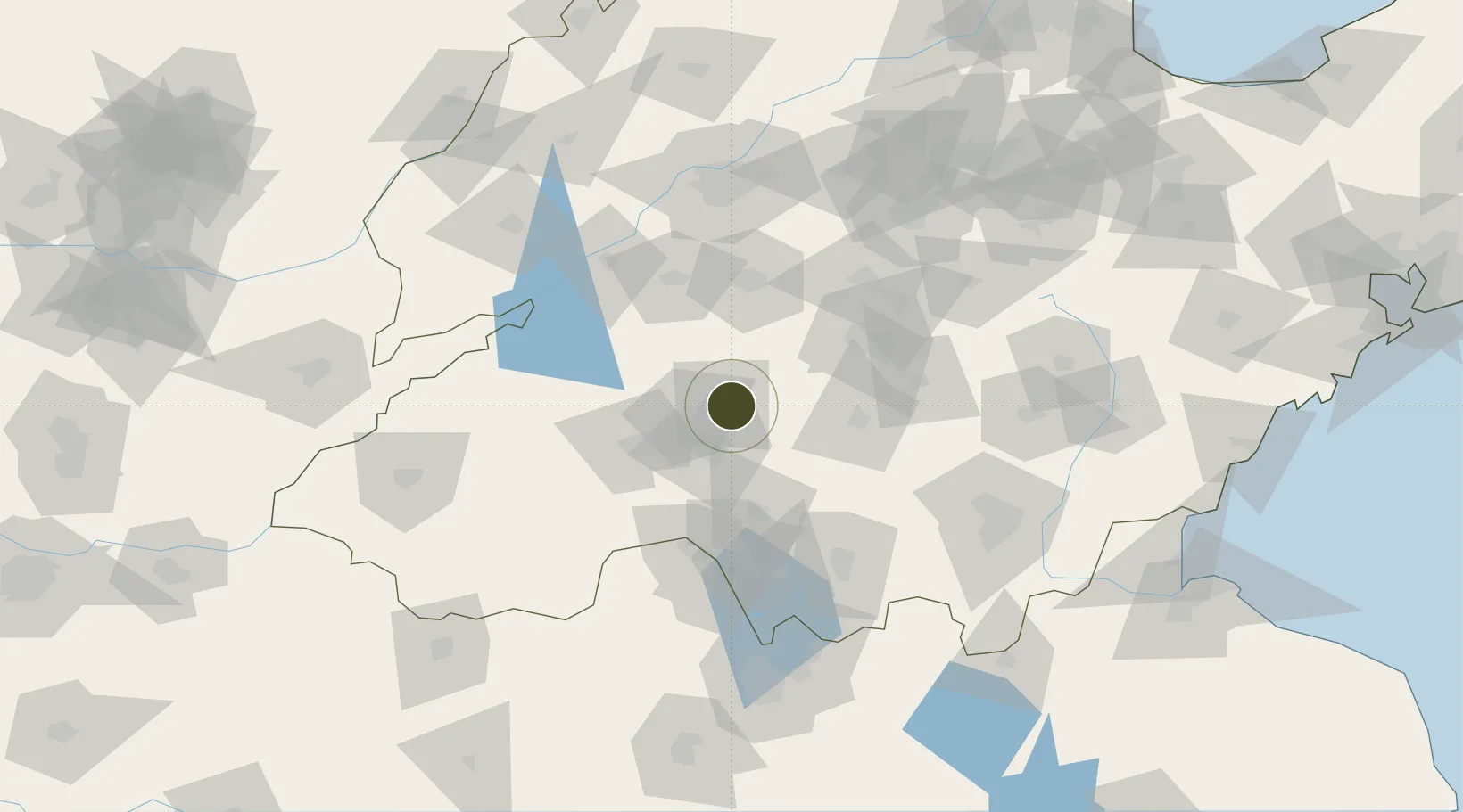
35.5926°, 117.0370°
2,000 ha
Zone area
218.9 km
Nearest port
27.2 km
Nearest airport

Gateway access

Nearest neighbours — logibook spatial index (haversine) over the source coordinates

Zone profile

Zone type
Diversified Zone
Open Zone Map
Region
Shandong
Open Zone Map
Status
Active
Open Zone Map
Management
Public
Open Zone Map
Operator
Working Committee of Qufu Economic Development Zone
Open Zone Map
Legal framework
Comprehensive Development Plan of Qufu Economic Development Zone (2018-2035)
Open Zone Map

Location

Location of ozm-816
Natural Earth 10m (public domain) · Shandong · ozm-816 · 35.59, 117.04GoogleOSMYandex

Nearby Logistics Neighbours

Ports
  1. 1Lanshan219 km
  2. 2Rizhao230 km
  3. 3Lianyungang239 km
  4. 4Qingdao Gang295 km
  5. 5Longkou Gang368 km
Nearest neighbours — logibook spatial index (haversine) over the source coordinates
Airports
  1. 1Jining Da'an Airport27 km
  2. 2Guodu Air Base70 km
  3. 3Jining Qufu Airport71 km
  4. 4Heze Mudan Airport125 km
  5. 5Linyi Qiyang Airport138 km
Nearest neighbours — logibook spatial index (haversine) over the source coordinates
Cities
  1. 1Jining50 km
  2. 2Taian66 km
  3. 3Zaozhuang90 km
  4. 4Zhangqiu109 km
  5. 5Linyi116 km
Nearest neighbours — logibook spatial index (haversine) over the source coordinates
Trade Zones
  1. 1Yanzhou Economic Development Zone22 km
  2. 2Zoucheng Industrial Park25 km
  3. 3Zoucheng Economic Development Zone25 km
  4. 4Ningyang Economic Development Zone36 km
  5. 5Rencheng Economic Development Zone51 km
Nearest neighbours — logibook spatial index (haversine) over the source coordinates
DatabookThe Record of Consolidated Knowledge
China beyond logistics?
Browse databook

All Sources

Trade ZonesOpen Zone Map
CC BY
Portsthe NGA World Port Index
Public domain (US gov)
AirportsOurAirports
Public domain
LocationsUN/LOCODE
UN/LOCODE — free
← China trade zones