Medium airport · China

Lincang Boshang AirportZPLC
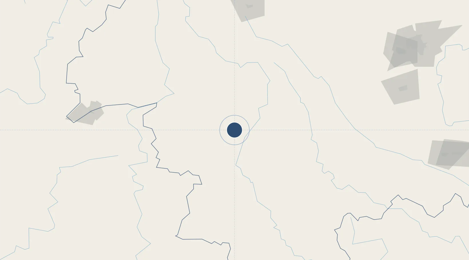
23.7381°, 100.0250°
7,874 ft
Longest runway
1
Runways
6,230 ft
Elevation

Runway & Layout

Lincang Boshang Airport runway & taxiway layout
Runway & taxiway layout — OpenStreetMap (ODbL) / OurAirports

Runways · 1

RunwayDimensions SurfaceTrue headingLit
16/34 7,874 × —ft
OurAirports

Airport Specifications

IATA code
LNJ
OurAirports
ICAO code
ZPLC
OurAirports
Airport class
Medium airport
OurAirports
Scheduled service
Yes
OurAirports
Served city
Lincang
OurAirports

Location

Location of ZPLC
Natural Earth 10m (public domain) · Yunnan · ZPLC · 23.74, 100.03GoogleOSMYandex

Nearby Logistics Neighbours

Airports
  1. 1Cangyuan Washan Airport84 km
  2. 2Pu'er Simao Airport142 km
  3. 3Lancang Jingmai Airport149 km
  4. 4Dehong Mangshi International Airport169 km
  5. 5Baoshan Yunrui Airport170 km
Nearest neighbours — logibook spatial index (haversine) over the source coordinates
Cities
  1. 1Simao142 km
  2. 2Jinghong207 km
  3. 3Jiangcheng Mengkang221 km
  4. 4Yuxi262 km
  5. 5Anning281 km
Nearest neighbours — logibook spatial index (haversine) over the source coordinates
Ports
  1. 1Hai Phong753 km
  2. 2Hon Gai788 km
  3. 3Nghe Tinh812 km
  4. 4Cam Pha812 km
  5. 5Sittwe837 km
Nearest neighbours — logibook spatial index (haversine) over the source coordinates
Trade Zones
  1. 1Lincang Industrial Park21 km
  2. 2Jingdong Industrial Park117 km
  3. 3Nanjian Industrial Park155 km
  4. 4Menglian Meng-A Border Economic Cooperation Zone163 km
  5. 5Yangbi Walnut Industrial Park: Dali Prefecture188 km
Nearest neighbours — logibook spatial index (haversine) over the source coordinates
DatabookThe Record of Consolidated Knowledge
China beyond logistics?
Browse databook

All Sources

AirportsOurAirports
Public domain
Portsthe NGA World Port Index
Public domain (US gov)
LocationsUN/LOCODE
UN/LOCODE — free
Trade Zonesthe World Bank SEZ database
CC BY 4.0
Trade ZonesOpen Zone Map
CC BY
InfrastructureOpenStreetMap
ODbL 1.0
← China airports