Medium airport · China

Erenhot Saiwusu International AirportZBER
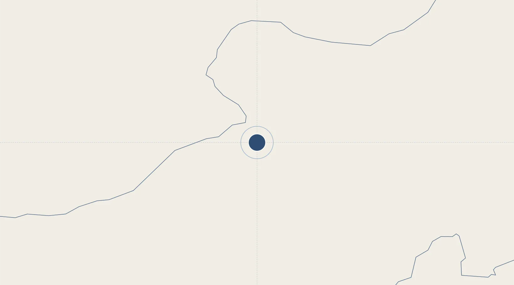
43.4241°, 112.0911°
9,186 ft
Longest runway
1
Runways
3,301 ft
Elevation

Runway & Layout

Erenhot Saiwusu International Airport runway & taxiway layout
Runway & taxiway layout — OpenStreetMap (ODbL) / OurAirports

Runways · 1

RunwayDimensions SurfaceTrue headingLit
12/30 9,186 × 148ft Concrete
OurAirports

Airport Specifications

IATA code
ERL
OurAirports
ICAO code
ZBER
OurAirports
Airport class
Medium airport
OurAirports
Scheduled service
Yes
OurAirports
Runway surface
Concrete
OurAirports
Served city
Erenhot
OurAirports

Location

Location of ZBER
Natural Earth 10m (public domain) · Inner Mongol · ZBER · 43.42, 112.09GoogleOSMYandex

Nearby Logistics Neighbours

Airports
  1. 1Ulanqab Jining Airport268 km
  2. 2Hohhot Baita International Airport287 km
  3. 3Hohhot Bikeqi Air Base307 km
  4. 4Xilinhot Airport316 km
  5. 5Ruad Zhongqi Hailiutu Airport360 km
Nearest neighbours — logibook spatial index (haversine) over the source coordinates
Cities
  1. 1Erlianhaote25 km
  2. 2Zamyn-Üüd41 km
  3. 3Ulan Qab222 km
  4. 4Bayan Obo253 km
  5. 5Hohhot294 km
Nearest neighbours — logibook spatial index (haversine) over the source coordinates
Ports
  1. 1Tianjin Xin Gang690 km
  2. 2Qinhuangdao735 km
  3. 3Tangshan (Jingtang)745 km
  4. 4Huludao Gang794 km
  5. 5Jinzhou Wan800 km
Nearest neighbours — logibook spatial index (haversine) over the source coordinates
Trade Zones
  1. 1Zamyn-Üüd Special Economic Zone36 km
  2. 2Shangdu County Chengsheng Industrial Park250 km
  3. 3Wuchuan Economic Development Zone270 km
  4. 4Hongsheng Industrial Park283 km
  5. 5Chahar Industrial Park289 km
Nearest neighbours — logibook spatial index (haversine) over the source coordinates
DatabookThe Record of Consolidated Knowledge
China beyond logistics?
Browse databook

All Sources

AirportsOurAirports
Public domain
Portsthe NGA World Port Index
Public domain (US gov)
LocationsUN/LOCODE
UN/LOCODE — free
Trade Zonesthe World Bank SEZ database
CC BY 4.0
Trade ZonesOpen Zone Map
CC BY
InfrastructureOpenStreetMap
ODbL 1.0
← China airports