Runway & Layout

Airport Specifications
Airport class
Medium airport
Scheduled service
No
Served city
Hainan (Gonghe)
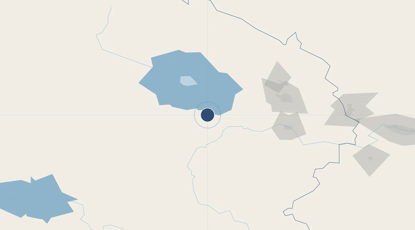
Location
Nearby Logistics Neighbours
Airports
- 1Xining Caojiabao International Airport141 km
- 2Haibei Qilian Airport186 km
- 3Golog Maqên Airport214 km
- 4Gannan Xiahe Airport257 km
- 5Wuwei Air Base261 km
Ports
- 1Hankow1429 km
- 2Tianjin Xin Gang1553 km
- 3Chittagong1769 km
- 4Fang-Cheng1792 km
- 5Qinzhou1803 km
Trade Zones
DatabookThe Record of Consolidated Knowledge
China beyond logistics?